Language selection

Search


Maps

Extending our outer limits: Canada’s 2019 Arctic Ocean continental shelf submission to the United Nations

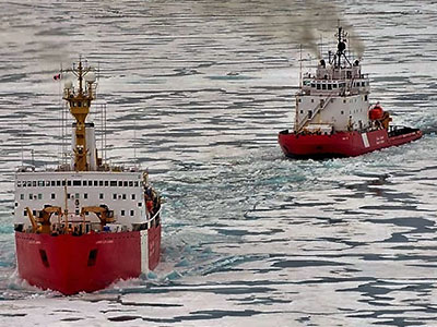
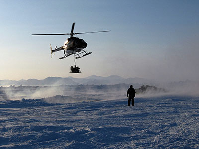
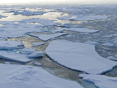
The Arctic Ocean is a vast, cold, isolated and utterly fascinating part of the northern hemisphere. Beneath its surface, thousands of metres below, is an extension of our country known as the continental shelf. And now, based on massive amounts of geoscientific data measuring the seafloor, an additional 1.2 million square kilometres could be added to Canada’s land area of 9.98 million km2.

Keywords:

Discovering Glass Sponge Reefs (Ask NRCan)

In the 1980s, scientist Kim Conway was part of an expedition to map the continental shelf in the Pacific Ocean. During this mission, he made a fascinating and unexpected discovery – unique reefs that were long thought to be extinct. Kim explains the significance of this discovery and what it means for science.

Keywords:

Science at the North Pole

On this episode of “Ask NRCan,” research scientist David Mosher talks about his experiences travelling to the North on a Canadian Coast Guard icebreaker to map the Arctic Ocean floor.

Keywords:

Satellite Navigation: The familiar blue dot could soon mark a better spot

Getting from point A to point B using your smartphone’s web mapping application with the familiar pulsing blue dot is part of our daily lives — thanks to satellite system receivers that use global positioning systems (GPS) to give location and time information. Positioning technology is evolving, and today a typical smartphone can pinpoint a person’s location within a few metres, which is adequate for most personal use. But for a future that includes autonomous driving, precision agriculture and natural disaster early warning systems, centimetre-level accuracy will be crucial.

Keywords:

Pages