
Recently, a Canadian delegation from Natural Resources Canada (NRCan), Global Affairs Canada and the Department of Fisheries and Oceans Canada (DFO) filed Canada’s Arctic Ocean submission, a 2,100-page scientific report, to the United Nations Commission on the Limits of the Continental Shelf in New York.
Based on massive amounts of geoscientific data measuring the seafloor, an additional 1.2 million square kilometres could be added to Canada’s land area of 9.98 million km2.
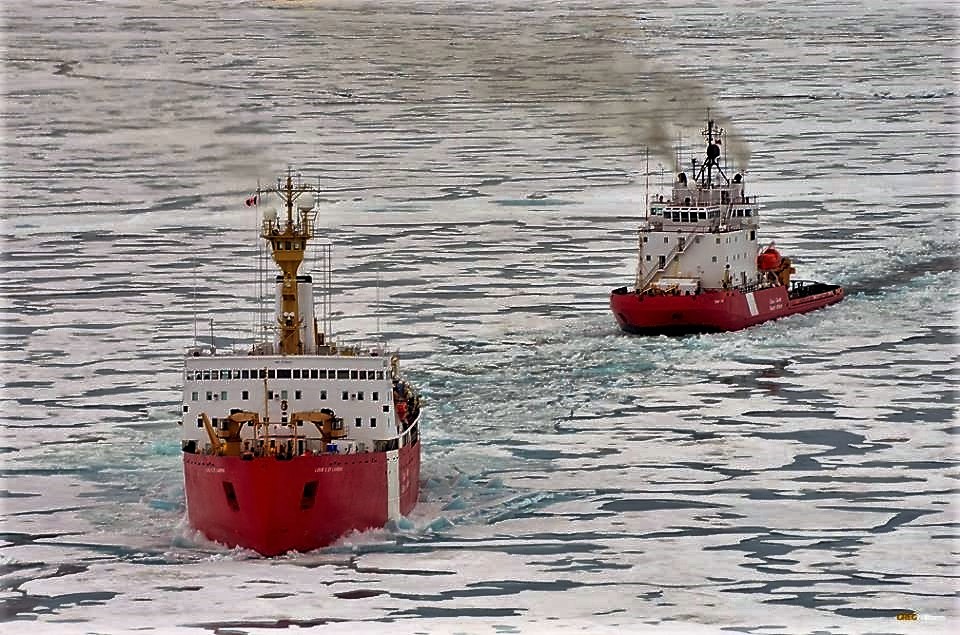
Caption: Canadian Coast Guard Ship (CCGS) Louis S. St-Laurent and CCGS Terry Fox in the Arctic Ocean.
Quick Fact: The Arctic Ocean coastline is 45,390 km long and virtually landlocked, bordered by Canada, Greenland, Norway, Russia and the United States. When the project started, Canada had geophysical data for only 3,000 km of coastline. An additional 19,000 km was covered during the program.
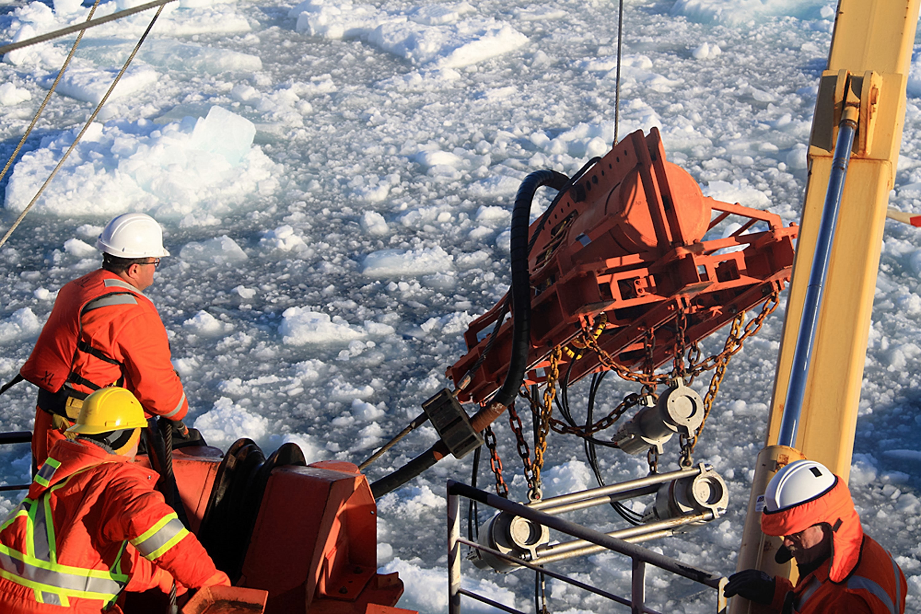
Caption: Geophysical gear being deployed from the CCGS Louis S. St-Laurent in the Arctic Ocean.
Quick Fact: Researchers dredged nearly one metric tonne of rocks at depths up to 2,500 metres — four times the height of Toronto’s CN tower — from an area one-third the size of Ontario, with some of the rocks representing the first samples ever collected from the location.
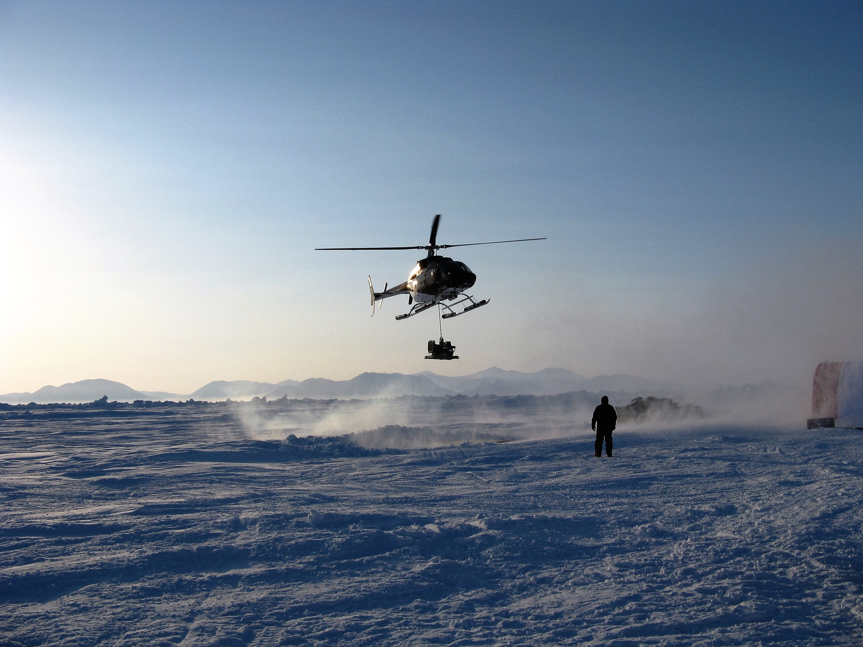
Caption: Helicopter operations: Ice Camp on Borden Island in the Canadian Arctic.
Quick Fact: The Arctic Ocean is home to two North Poles: the Magnetic North Pole, which shifts due to changes in magnetic field in the Earth’s core, and the Geographic North Pole, a static point at the top of the world at 90 North.
.jpg)
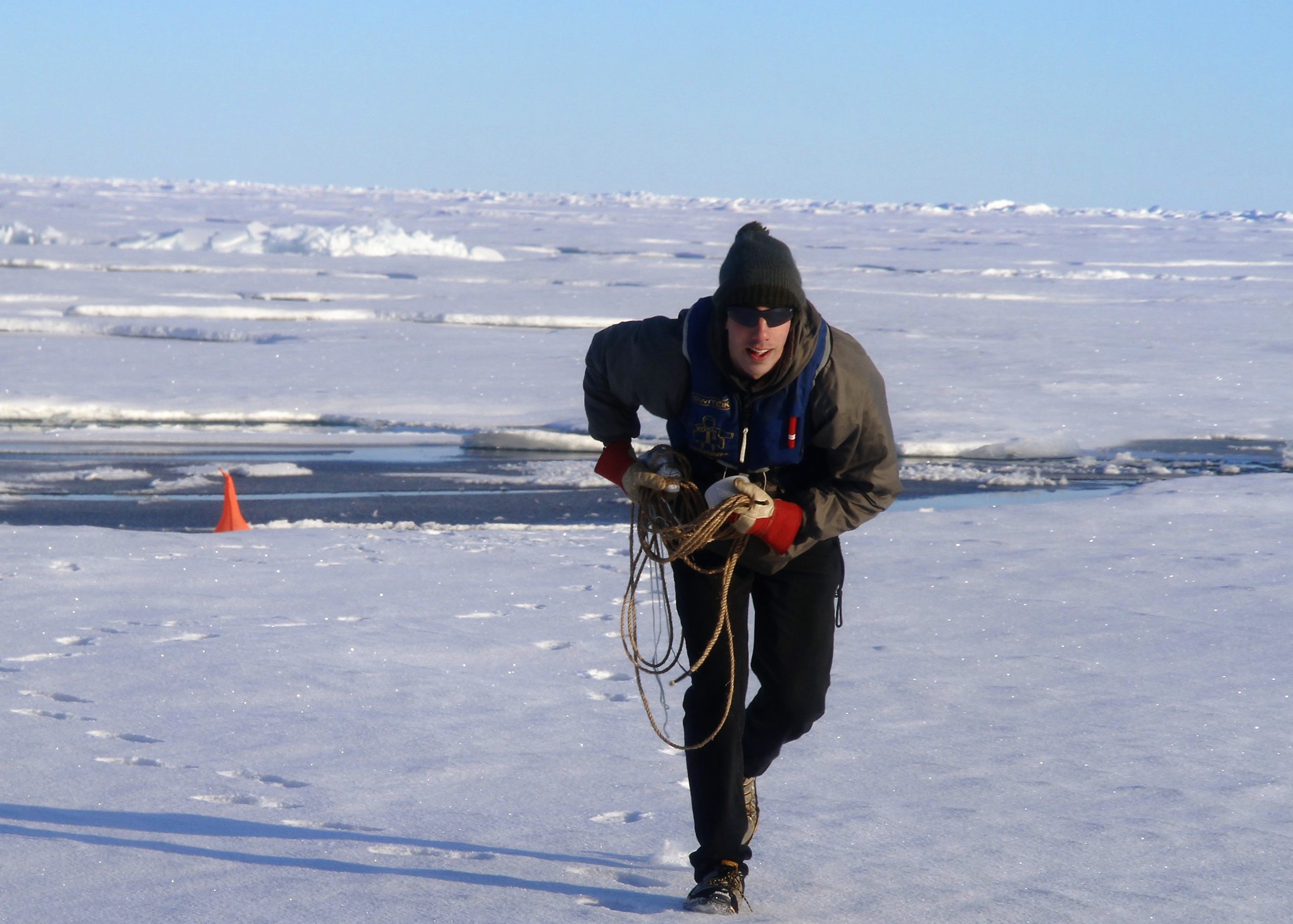
Caption: Thick ice conditions Canada faced in acquiring data in the Arctic Ocean.
Quick Fact: To record high-resolution seafloor images in areas inaccessible to icebreakers, scientists programmed an autonomous underwater vehicle to perform mapping surveys that lasted for three days over a distance of 400 km.
.png)
Caption: Swedish Icebreaker Oden and CCGS Louis S. St-Laurent in the Arctic Ocean.
Quick Fact: Canada’s continental shelf beyond 200 nautical miles in the Arctic and Atlantic oceans covers approximately 2.4 million km2 in total — about the size of the three Prairie provinces. Canada’s most recent UNCLOS submissions describe one of the largest continental shelf areas ever submitted for consideration to the United Nations Commission on the Limits of the Continental Shelf.
Caption: NRCan / Geological Survey of Canada scientist Kai Boggild deploying a sonobuoy from an Arctic Ocean ice floe during helicopter operations.
Quick Fact: The team discovered fossilized plant material on the seabed, which suggests that volcanic islands covered in vegetation existed in the Arctic Ocean millions of years ago.
Useful links:
- Read more in the Geological Survey of Canada’s blog, click here.
- Learn about Canada’s extended continental shelf program, click here.
- Find out more on the science of surveying, click here.