
Significant increase in Elevation Data Coverage!
The National Elevation Data Strategy team has increased its production rate. Our detailed 3D products cover 32% more area since the last publication in October 2023!
Discover the changes to our four main elevation products detailed below.
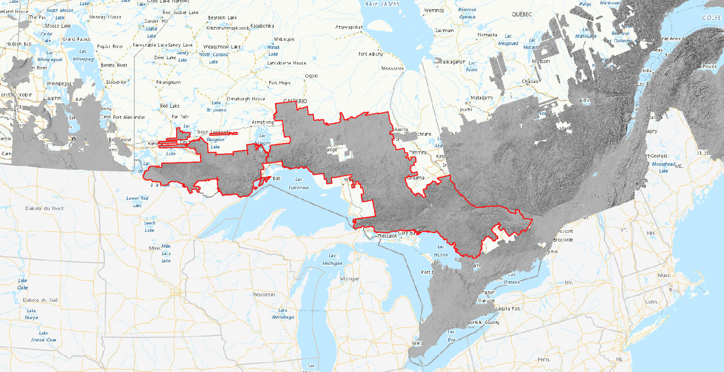
The outlined area in red represents 253,806 km2 of new High Resolution Digital Elevation Model and mosaic datasets derived from single-photon lidar data from the Government of Ontario.
High Resolution Digital Elevation Model products
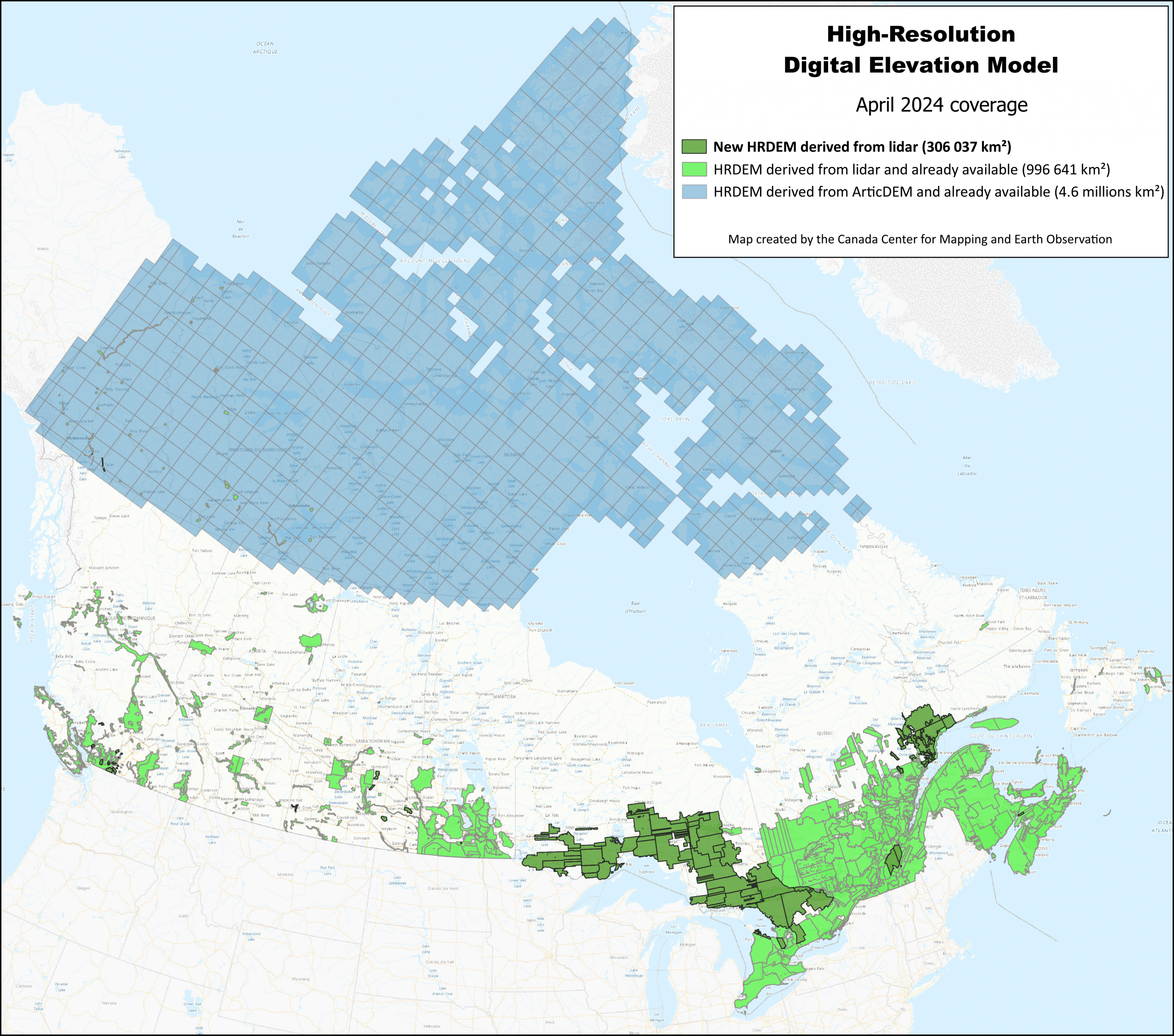
More than 306,000 km2 of lidar-derived elevation data have been published on open maps to enhance the High Resolution Digital Elevation Model (HRDEM) and HRDEM Mosaic products. To date, the complete coverage represents 1,302,678 km2! The new data can be found here (in km2):
- British Columbia: 1,803
- Manitoba: 24
- Nova Scotia: 195
- Ontario: 258,990
- Quebec: 42,915
- Saskatchewan: 2,003
- Yukon: 107
With this new data, more than 37.7 million Canadians - about 93% of the population - live in areas covered by the HRDEM and HRDEM Mosaic products. Today, 99 of the country's 100 largest cities are covered by these two products. The lidar data used comes from numerous partners across the country, as well as from acquisition projects carried out by Natural Resources Canada (NRCan) in 2023, notably from funding from the Flood Hazard Identification and Mapping Program (FHIMP).
Automatically extracted buildings
More than 1.4 million new lidar-derived building footprints have been added to the Automatically Extracted Buildings product. These footprints are located in the provinces of Nova Scotia, New Brunswick, Quebec, Ontario, Manitoba, Saskatchewan, and British Columbia. This update brings the total number of footprints to over 11,060,912 million! The publication includes the addition of seven of Canada's 100 largest cities: Sydney, Fredericton, Gatineau, Halifax, Lindsay, Quebec City, and Trois-Rivières.
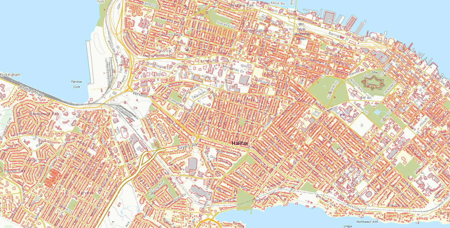
Over 95% of building footprints in Nova Scotia are now available on Open Government.
Lidar point clouds
Lidar point cloud users, this section is for you! This publication offers over 31,000 km2 of new lidar point cloud data for a total of 161,000 km2. These additions cover regions in Manitoba, Ontario, Quebec, British Columbia, Nova Scotia, Saskatchewan, and Prince Edward Island. This publication includes lidar projects acquired with FHIMP funds, including acquisition contracts managed by NRCan.
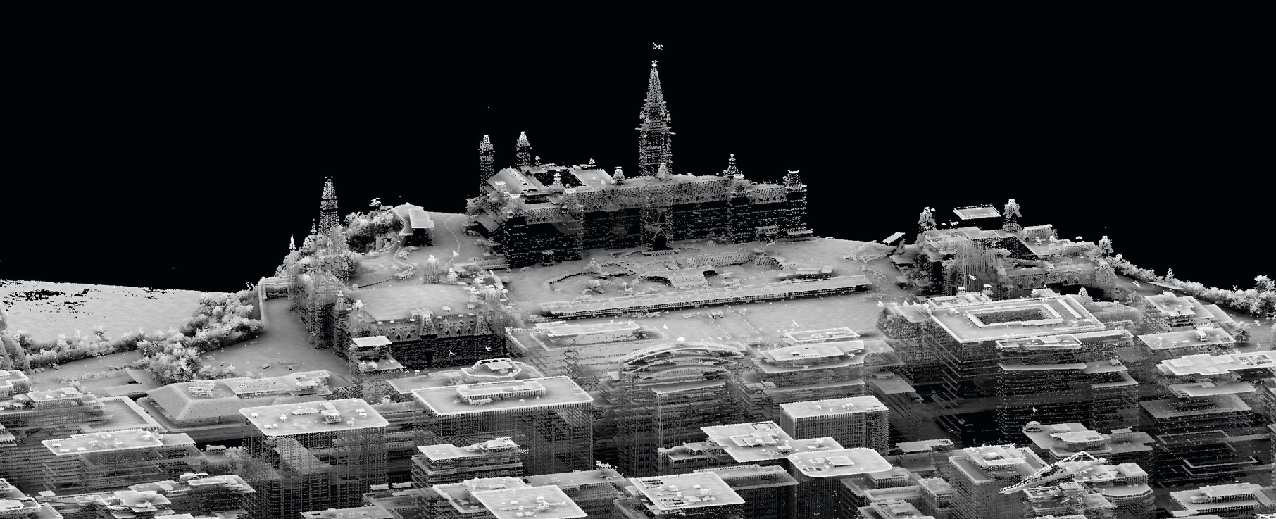
Lidar point cloud of the Parliament of Canada in Ottawa.
For more information about elevation data and projects, visit the National Elevation Data Strategy or contact us directly at geoinfo@nrcan-rncan.gc.ca.
Page details
- Date modified: