
Explore Canada through maps, data and stories
From historic cartography to modern interactive mapping tools, the Atlas of Canada showcases the nation’s land, people and places. Explore, compare and download a wide range of maps to discover new perspectives of Canada.
Help us improve!
Take our short survey to share your thoughts on the Atlas of Canada.
Explore maps by theme
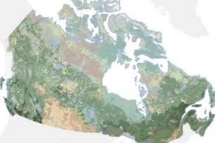
Map series
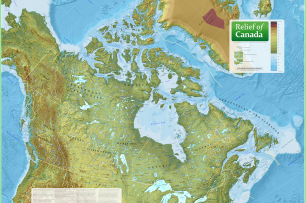
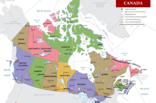
Reference maps
Use national, provincial, territorial and international maps designed for teaching and learning
Explore data
Geo.ca
Access open data, maps, applications and more
Earth Observation and Data Management System (EODMS)
View satellite imagery and air photos
Open Government
Find open data, reports and publications from across government
More maps, data and publications
Toporama
Navigate relief, drainage, roads, transportation and more in this interactive mapping tool
Atlas editions and historical maps
Travel through the history and evolution of the Atlas of Canada
About the Atlas of Canada
Learn about the Atlas of Canada today
Open Science and Technology Repository
Scientific publications from Natural Resources Canada, including geological maps of Canada
What’s New
Contact us
For more information, email us at geoinfo@nrcan-rncan.gc.ca.