
Filter your results

Keywords:Article
Meet Catherine Robin: Keeping Canada in the right place — down to the millimetre
The science that helps keep Canada aligned in ways most people never see. June 2026
Keywords:Article
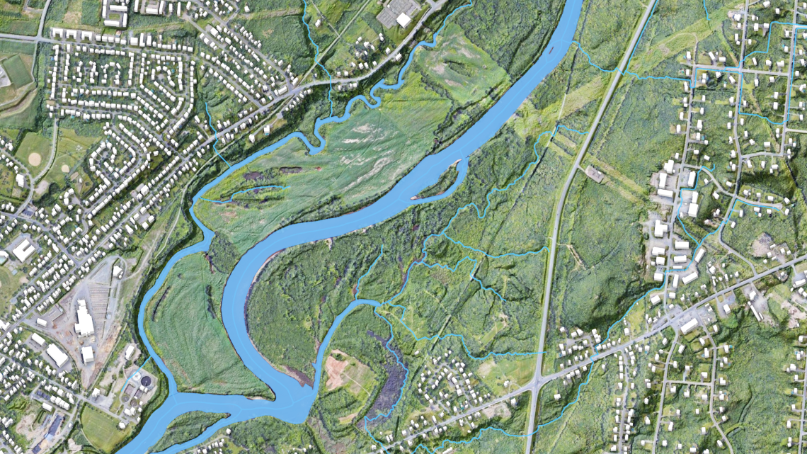
From rain to risk: How flood hazard maps are made
Create flood hazard maps by analyzing rainfall, terrain, and water flow to assess risk

Keywords:Video
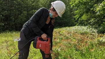
Engaging with remote communities to map the local bedrock
Scientist Mary Sanborn-Barrie maps Kivalliq bedrock with Nunavut communities - YouTube Video (9:35 minutes)

Keywords:Article
Revolutionizing emergency preparedness with on-demand mapping
Improve emergency preparedness by mapping demand to support faster response and better resource allocation

Keywords:Article
How will climate change impact Canada’s water resources?
Assess how climate change affects Canada’s water availability, quality, and long‑term water management

Keywords:Article
Celebrating scientists on International Women’s Day
Celebrate women scientists and their contributions to research, innovation, and scientific progress

Keywords:Article
Unlocking the power of satellites for Canada’s crops
Use satellite data to monitor crops, improve yields, and support precision agriculture across Canada

Keywords:Article
Mapping Canada’s Forest Wildfires
Map forest wildfires across Canada to track patterns, assess risk, and support response and planning
Keywords:Article
Making a very real difference while working in artificial intelligence
Apply artificial intelligence to solve real‑world problems and deliver measurable scientific impact
Keywords:Article
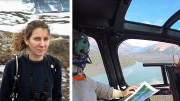
From Nova Scotia to the far North: A scientist’s somewhat unexpected career
Profile a wildfire researcher whose work advances understanding of fire behaviour and forest resilience