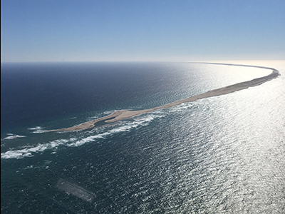
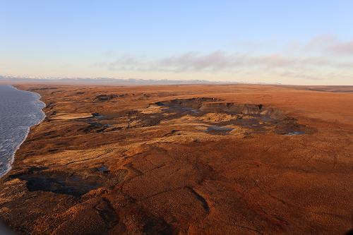
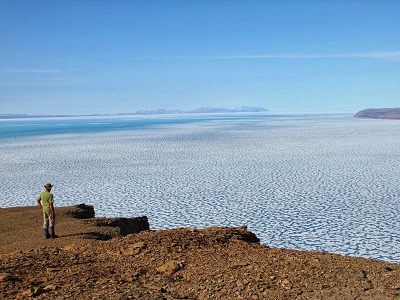
Language selection

Search

Geosciences

Working the Line: Maintaining the border in Canada’s wilderness (photo gallery)

As a surveyor for the International Boundary Commission, Joe Harrietha “works the line” in locating and maintaining the vast Canada–United States border. The Canadian section of the Commission is part of Natural Resources Canada, and he’s worked in some of the most remote and scenic areas in Canada for more than 25 years. These photos are from some of his expeditions.

Keywords:

Canada as never seen before: The new RADARSAT Constellation Mission

A trio of Earth observation satellites launched in June 2019 is providing Canadians with a more detailed picture of our country and oceans than ever before.

Known collectively as the RADARSAT Constellation Mission (RCM), these satellites mark a significant upgrade to Canada’s RADARSAT program. And by using a new imaging technology assessed and recommended by Natural Resources Canada (NRCan), RCM images provide scientists with more information to better understand our planet.

Keywords:

Pages