
Filter your results
Keywords:Article
Simply Science in Seconds: Tying seismic science to preparedness in the North
From ancient faults to modern cities, NRCan science is helping the North stand strong against future earthquakes.
Keywords:Video
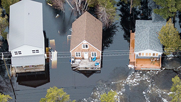
How flood maps help protect communities
Sarah Karam explains how Canada’s flood hazard maps are made and why they matter - YouTube Video (15:46 minutes)

Keywords:Article
Revolutionizing emergency preparedness with on-demand mapping
In today’s hyper-connected era, Canadians are seeking immediate and easy to access mapping where and when it’s needed
Keywords:Article
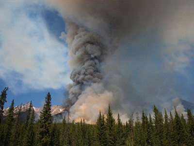
The science — and art — of forecasting wildland fires
On a beautiful spring day, it might be hard to imagine this is the calm before the storm. But wait. While Canada’s wildl
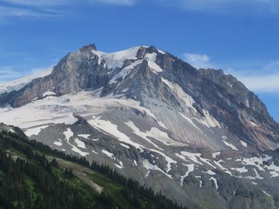
Keywords:Article
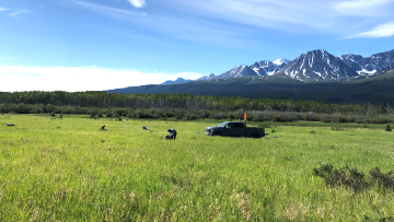
Unlocking the secrets of Canadian volcanoes through technology
Did you know that Canada is home to potentially active volcanoes? In the shadow of these seemingly sleeping giants lie p

Keywords:Article
Canada’s record-breaking wildfires in 2023: A fiery wake-up call
In 2023, Canada is facing a formidable challenge: record-breaking wildfires. These fires are fueled by record high tempe

Keywords:Article
A new tool to assess earthquake risks in Canada
What, exactly, would happen if an earthquake occurred in your area? A team at Natural Resources Canada have some answers

Keywords:Article
New report brings experts together for stronger, safer, more resilient communities
People in B.C. are exposed to a wide variety of potentially devastating natural hazards, including landslides, tsunamis,

Keywords:Podcast
The Smoking Hills
In Cape Bathurst, where Canada's mainland meets the Arctic Ocean, an entire coastline is burning.

Keywords:Podcast
Earthquakes in Eastern Canada
There are, on average, over 4,000 earthquakes in Canada each year. Many of those earthquakes occur in Western Canada