
From ancient faults to modern cities, NRCan science is helping the North stand strong against future earthquakes
March 2026
The seven-second summary:
New research classifying Yukon soils and sediments is helping scientists better predict how the ground beneath Yukon communities could shake during earthquakes — and what that means for infrastructure and public safety in Canada’s North. From mapping soil stiffness to revealing ancient faults with modern hazards, this work is improving earthquake risk assessments.
Recent events
On December 6, 2025, a magnitude 7.0 earthquake struck near the Yukon–Alaska border and was felt in nearby communities, including Whitehorse and the village of Haines Junction. Scientists from Natural Resources Canada (NRCan) have been working closely with the Yukon Geological Survey (YGS) in tracking aftershocks and assessing impacts on infrastructure and communities.
“This recent event confirms for us that our science and research are advancing our understanding of earthquake hazards in the region. The event was also a reminder of the importance of our research toward understanding how earthquake shaking changes throughout the territory.” — Jeremy Gosselin, research scientist, Natural Resources Canada
The sentiment on sediment: Mapping for safety in the Yukon
When an earthquake occurs, ground shaking can vary dramatically depending on soil and sediment types. Typically, the softer the site, the more intense the shaking. However, the effect is more complicated in the North, where frozen ground, also called permafrost, can make soft sediments act more rigidly.
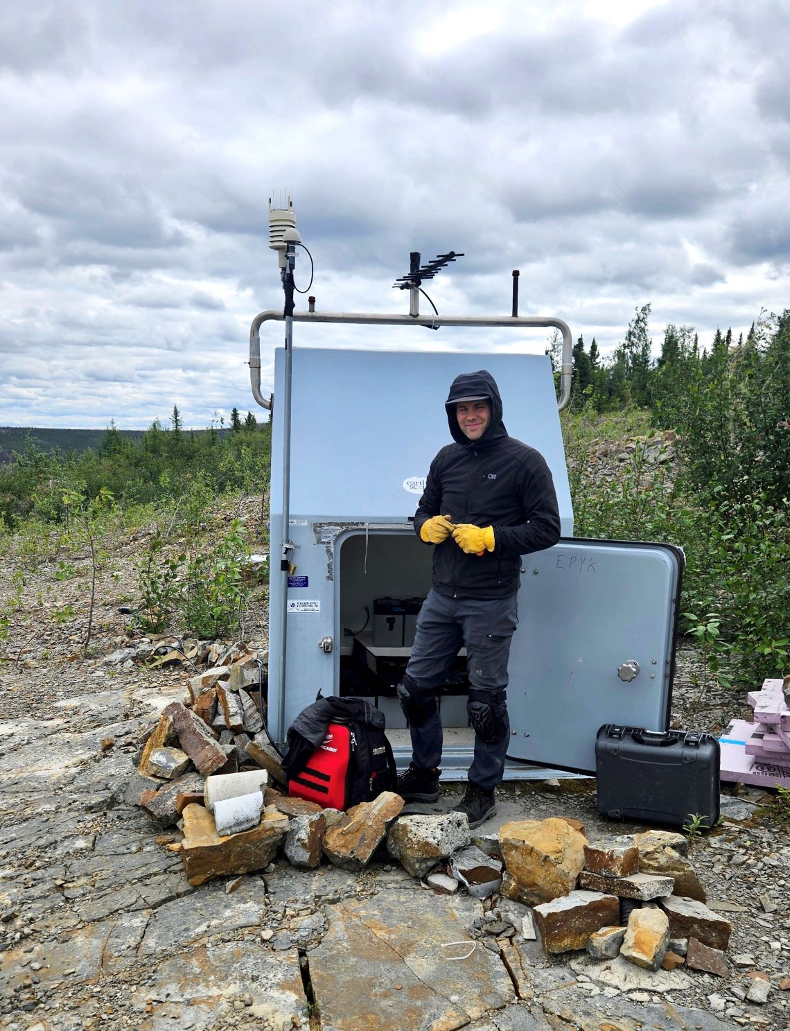
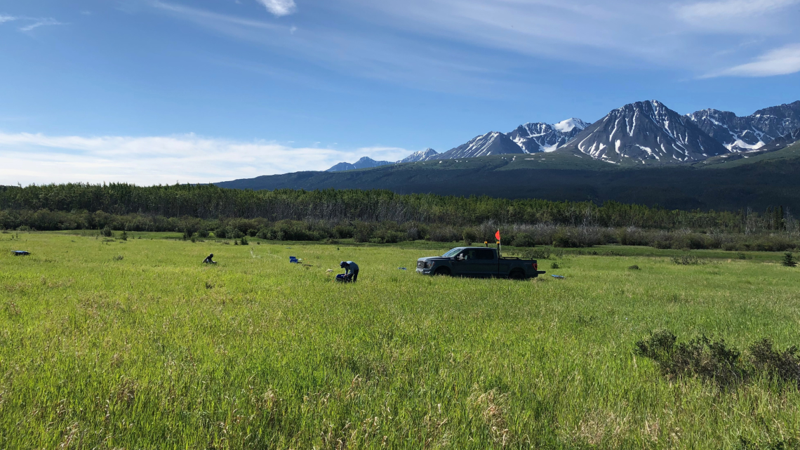
In a recently published study, scientists measured the rigidity, or stiffness, of soils at 14 sites in southwestern Yukon, making their first step in classifying ground conditions for hazard assessments and building codes.
When the ground shakes during an earthquake, rigid soils behave differently than softer ones, which affects how buildings, highways and community infrastructure respond. This study now provides data that engineers can use to forecast where shaking may be stronger or weaker, which helps in the design of resilient and safe buildings and infrastructure.
Ancient faults, modern risk
The soil rigidity work in Yukon builds on NRCan’s broader seismic research in the North. NRCan and YGS have been working together to better understand earthquake hazards and tectonic activity across the Yukon and Alaskan border region — including recent seismic research on earthquake activity near the Denali Fault, stretching hundreds of kilometres across southwestern Yukon along the Alaska Highway.
The region’s seismic potential is underscored by events like the magnitude 7.1 Saint Elias earthquake of February 1979, which struck between southeastern Alaska and the southwestern Yukon. Geologic evidence shows that multiple large earthquakes have occurred in the region over the last few thousand years. And recent NRCan research mapping the stresses and deformations of tectonic plates in the region suggests that the fault zone could generate major quakes in the future.
What this means
These studies together show that:
- The type of soil beneath a community affects how strongly it may shake during an earthquake.
- Long-hidden faults have seismic histories that must be considered for future hazard planning.
- As the climate warms and permafrost thaws, many Yukon sites may experience changes in soil rigidity and hazards may increase in those areas.
“Our research is helping Canadians make our communities safer and more resilient,” says Jeremy. “The recent magnitude 7.0 earthquake is also a good reminder that we, as individuals and communities, can take steps to better prepare for these types of natural hazards.”
If you’re a member of the media or an educator and you would like to learn more about Jeremy and this research, contact us at: sciencecommunications-communicationsscientifiques@nrcan-rncan.gc.ca