
The Canada Flood Map Inventory (CFM) now contains 65 new studies, 35 of which were funded by the Flood Hazard Identification and Mapping Program (FHIMP). This layer identifies the owners and contains references to official sources.
Each study produces several maps. To better understand flood maps and their utility, check out the Flood Mapping page.
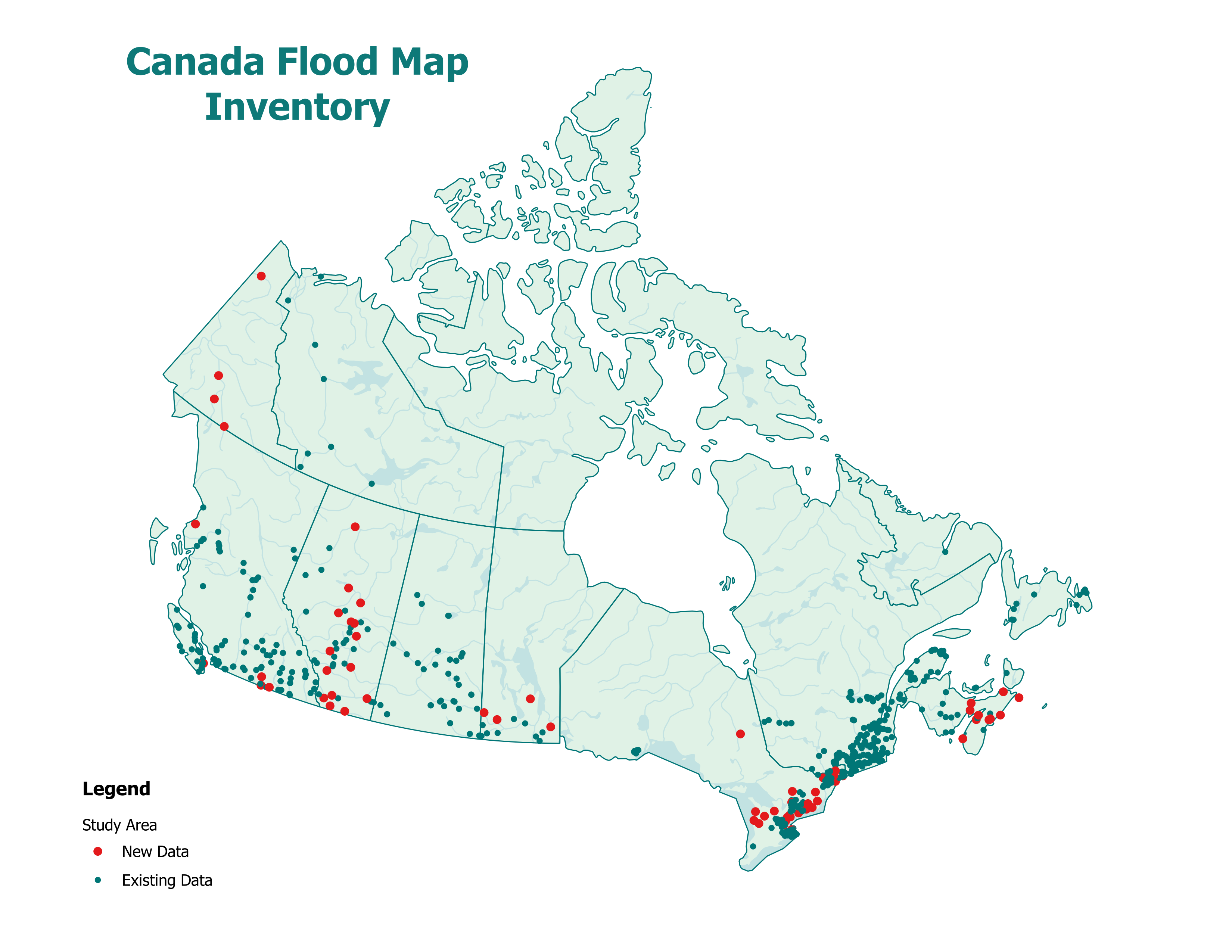
New data is represented by red dots, and existing data by green dots.
New studies have been added across six provinces. At the time of the last update, there were no FHIMP-funded studies in Nova Scotia or the Yukon, making this a significant addition to our inventory.
By integrating this new data, the program strengthens our understanding of flood hazards across Canada, supporting improved prevention and mitigation strategies. As more studies are completed and added to the inventory, the program will continue to play a key role in helping protect Canadians from flood hazards.
For more information, please contact geoinfo@nrcan-rncan.gc.ca.