
Discover how the Flood Hazard Identification and Mapping Program (FHIMP) is supporting Atlantic provinces to close flood mapping gaps and improve access to consistent flood hazard information.
Atlantic Canada is exposed to coastal hazards, powerful storms driving intense rainfall, ice jams, and riverine flooding. Up-to-date, accessible flood hazard information is needed across the region, including information that considers climate change and its impacts on future flooding. Through cost-sharing, technical support, and guidance, the FHIMP supports projects in each Atlantic province to produce, update and publish flood hazard maps and collect the foundational data needed to develop them.
So far, FHIMP has invested $26.2 million in Atlantic Canada supporting 90 flood mapping-related projects and the production of over 300 flood maps.
New Brunswick
8 projects in progress
New Brunswick is updating data that supports its flood mapping, including topographic and bathymetric lidar acquisitions across key coastal areas and inland rivers. These foundational datasets support the development of accurate flood models.
Inland, New Brunswick is updating regional-scale flood hazard mapping and more detailed flood hazard mapping in some areas, as well as its provincial flood frequency analysis, which is used to estimate river flood flows. Work is also underway to update provincial coastal flood hazard maps and enhance 3D visualization in the provincial flood mapping portal, making flood hazard information easier to interpret and use.
New Brunswick’s updates to coastal and inland flood information demonstrate how FHIMP funding, technical support, and data resources improve the accuracy, consistency, and accessibility of provincial flood hazard maps and datasets.
New Brunswick’s Flood Hazard Map Portal
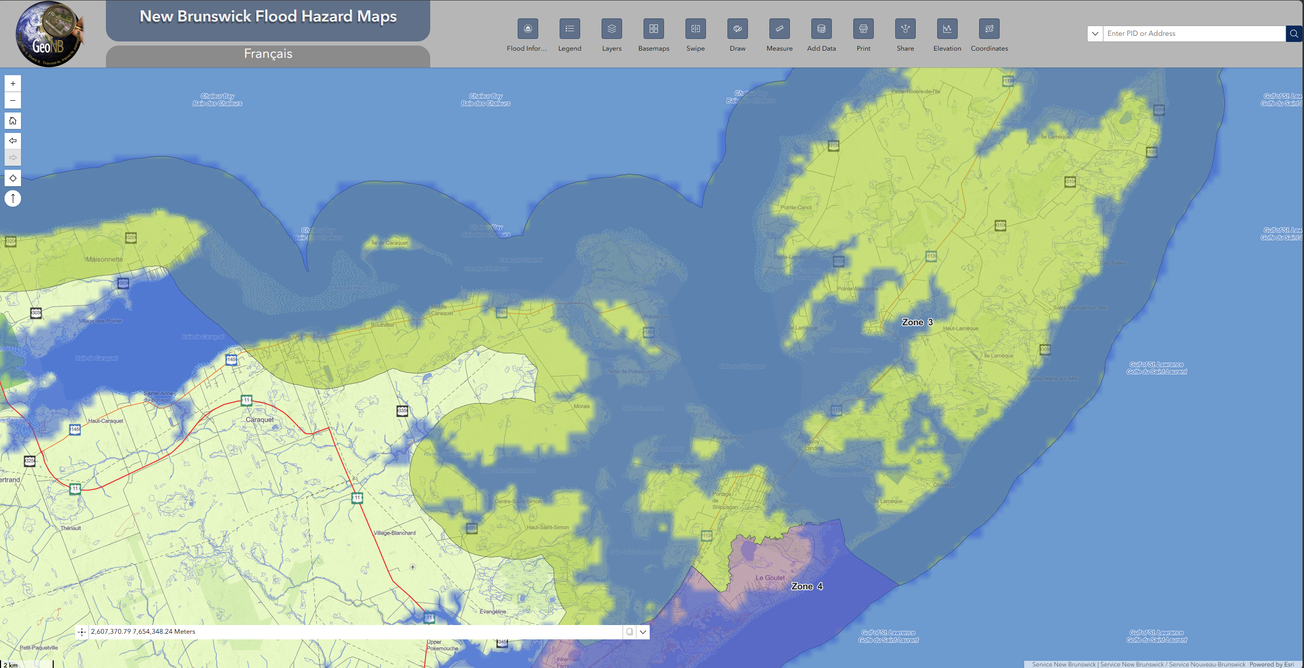
Example of an interactive map featured on the New Brunswick Flood Hazard Maps Portal.
Nova Scotia
17 projects completed, 31 projects in progress
10 new studies in the Canada Flood Map Inventory
Nova Scotia is using a province-wide approach to flood hazard identification through its Municipal Flood Line Mapping Program (MFLM), mapping both riverine and coastal flood hazards by watershed. Higher-risk and more populated watersheds are being prioritized as the province works toward full coverage by 2027.
FHIMP also supports the province’s investments in data collection, engagement, and dissemination. A provincial flood mapping web portal is planned to provide public access to flood hazard information in a consistent, user-friendly format. Until then, datasets and flood hazard layers are available on request.
Nova Scotia’s progress illustrates how FHIMP support can help accelerate systematic coverage of riverine and coastal flood hazard mapping.
Nova Scotia’s maps in the Canada Flood Map Inventory
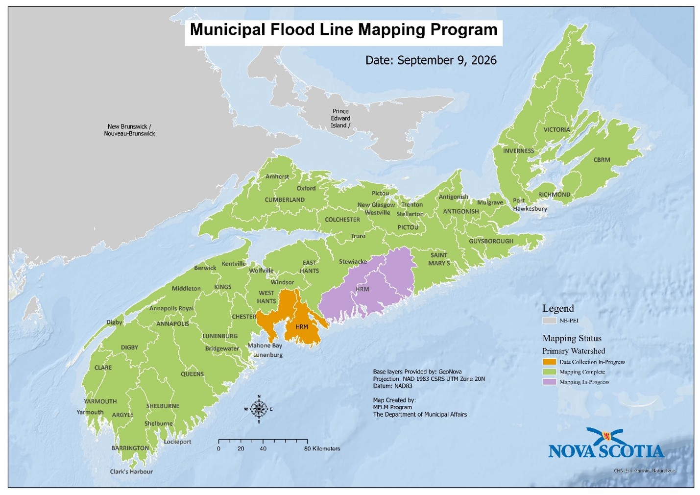
Map showing the mapping status of primary watersheds under Nova Scotia’s Municipal Flood Line Mapping Program.
Newfoundland and Labrador
4 projects completed, 10 projects in progress
2 new studies in Canada Flood Map Inventory
Newfoundland and Labrador is exposed to significant coastal, ice jam, and riverine flood hazards, and FHIMP-supported activities are improving flood hazard data, mapping and dissemination. Work includes major topographic lidar acquisitions, generating both riverine and coastal flood hazard models and maps, and new dissemination tools.
The Coastal Flood Simulation App is an interactive public tool that visualizes flood levels along the coast under different storm and sea-level rise scenarios. This complements the Newfoundland and Labrador Atlas of Storm Surge and Waves Climate Report, published in 2024, which assesses historic and future coastal hazards on the provincial coastline.
The province is also undertaking six large multi-community mapping projects, covering more than 30 communities, illustrating how large projects can support consistent flood mapping across multiple communities while still producing community-specific map products.
Newfoundland and Labrador’s provincial portal
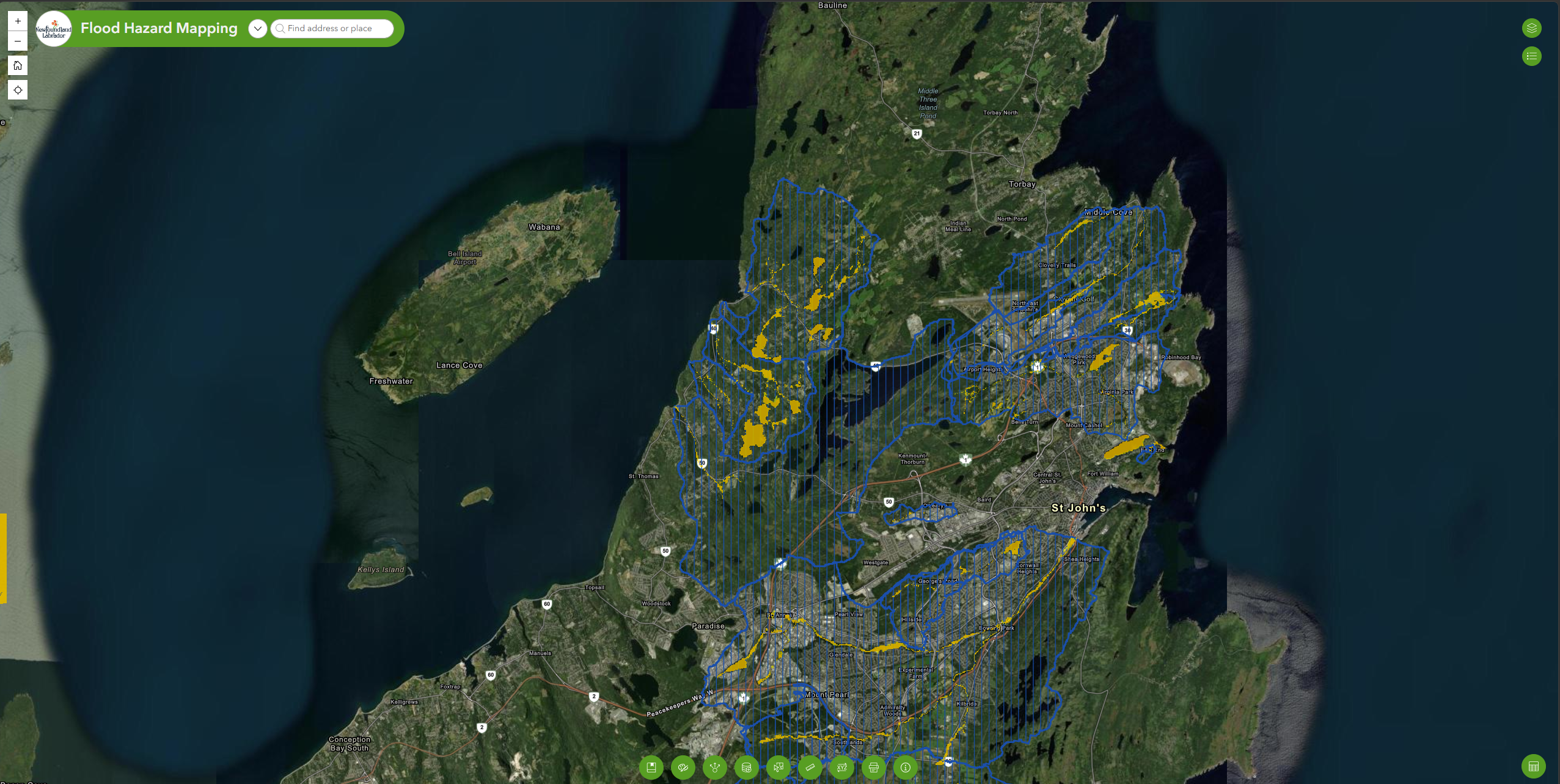
Example of the interactive map featured on Newfoundland and Labrador’s Flood Hazard Mapping portal.
Prince Edward Island
13 projects completed, 9 projects in progress
3 new studies in Canada Flood Map Inventory
Prince Edward Island is working toward full-island flood hazard information coverage by updating its coastal flood hazard mapping, enhancing inland flood hazard data, and publishing this information through the provincial Climate Hazard & Risk Information System (CHRIS), available online.
With FHIMP support, the province completed Canada’s first province-wide pluvial flood hazard mapping initiative, with results available through CHRIS. Other work includes acquiring topographic lidar and aerial photography, updating coastal hazard mapping, coastline delineation and erosion hazard data, salt marsh mapping, migration modelling, and conducting public outreach on the new flood information. The province is also collaborating with First Nations partners on priority flood hazard mapping initiatives to incorporate Indigenous perspectives and community knowledge.
Prince Edward Island’s broad, province-wide updates and strong partnerships show how FHIMP funding, guidance, and data support can help a jurisdiction advance toward comprehensive, province-wide flood hazard mapping coverage.
PEI Climate Hazard and Risk Information System (CHRIS)
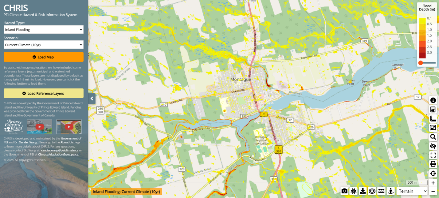
Example of the interactive map featured on Prince Edward Island’s Climate Hazard and Risk Information System (CHRIS) portal.
Next Steps
FHIMP continues through 2027–28. Current work in Atlantic Canada is expanding coverage of up-to-date flood hazard maps and supporting decisions related to land-use planning, infrastructure design and emergency management.
To explore Canada’s growing library of flood maps, data, and guidelines—or to learn more about FHIMP—visit:
Flood Hazard Identification and Mapping Program: Projects
This page contains links that may direct you to non-Government of Canada websites that are not subject to the Privacy Act, the Official Languages Act or the Standard on Web Accessibility. Please see our Terms and Conditions for more information.