Canada Centre for Mapping and Earth Observation

The Canada Centre for Mapping and Earth Observation (CCMEO) develops essential geographic information and location-based data using innovative research working with satellites and space agencies. Our scientists gather an accurate, authoritative archive of core geospatial data layers, land, water, and infrastructure by monitoring ground stations across Canada. This data is then standardized, harmonized, and made available to allow for easy access for federal decision-making. Our data is also open to the public.
Our vision is a secure and sustainable future for Canada, empowered by geospatial innovation.
Our mission is to advance integration of geospatial data in decision-making by strengthening geospatial capacity, from research and development to improving access to geospatial data.
Key initiatives
CCMEO is committed to providing Canadian governments, researchers, businesses, communities, and individuals access to high quality, authoritative, and interoperable data to meet a growing range of needs and applications. Some of our key initiatives include:

GeoAI
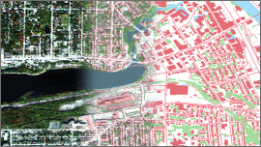
Our new data series covering 50,000 square kilometres of Canadian territory

Geo.ca
Canada’s definitive source for open geospatial information

Flood mapping
Critical tools to identify potential flood risks and mitigate impacts

Indigenous Place Names
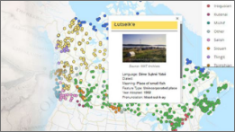
Virtual exhibit of place names in Canada rooted in Indigenous languages
Areas of expertise
CCMEO is involved in all aspects of the development and distribution of geospatial data. Our primary areas of expertise are:
- research and development
- digital transformation
- geospatial data infrastructure and governance
- business development
For more information about CCMEO’s primary areas of expertise, visit:
Collaborate with us
Have questions about a product or service? Interested in collaborating with us? Please email us at ccmeo_geodiscoveryengagement-cccot_geodecouvertemobilisation@nrcan-rncan.gc.ca.
Page details
- Date modified: