Funding application status: CLOSED
GEM-GeoNorth Program
Do you conduct geoscientific mapping or use it to support sustainable mineral development, environmental assessments or land-use decisions in the North? If so, the Geological Survey of Canada’s GEM-GeoNorth program (2020 to 2027) creates innovative and relevant geoscientific data, knowledge and maps to support your work in the context of a changing climate. GEM-GeoNorth is a continuation of the $200-million Geo-Mapping for Energy and Minerals (GEM) Program. It builds on the GEM Program by continuing to access new frontiers, the underexplored areas in Canada’s North. Academic, Northern, and Indigenous organizations that conduct geoscience research or want to develop their capacity to use our data may be eligible for funding.

Geologists from the GEM Multiple Metals Cumberland Peninsula Project examine an 1860-million-year-old mountain-building event on eastern Baffin Island, Nunavut (2009).
On this page
- The evolution of GEM-GeoNorth
- GEM-GeoNorth research
- Priority alignment as part of GEM-GeoNorth
- The Advisory Group of Northerners
- Community engagement
- Grants
- Want to apply for funding?
The evolution of GEM-GeoNorth
The GEM Program (2008–2020) explored the structure and evolution of geology in the North and helped address an insufficient geological understanding of vast tracts in Canada’s Northern territory. Natural Resources Canada (NRCan) scientists led and conducted research in collaboration with Canadian provinces and territories, research institutions in Canada and around the world, as well as Northern and Indigenous institutions and organizations.
GEM, from 2008 to 2013
GEM was first launched as a geological mapping program administered by the NRCan Geological Survey of Canada. At the time, Canada had an insufficient geological understanding of vast tracts of its Northern territory.
The first iteration of GEM had several outcomes:
- Development of the first digital geological map of Northern Canada, a key element to data modernization in this field of study and an important step in addressing major research gaps in the North
- The establishment of regional geological contexts that governments and industry could use to assess whether geological formations have a high or low likelihood of resource potential
- GEM knowledge provided to Northern communities and their organizations to make informed land-use and resource decisions
- Completion of 35 regional geophysical surveys, publication of over 700 open files of new geoscience maps and data in the Open Science and Technology Repository (OSTR) and delivery of more than 800 technical information sessions at venues frequented by industry, government and non-governmental organizations
GEM-2, from 2013 to 2020
In August 2013, the Government of Canada renewed support over seven years for the program. This second iteration of the program, Geo-mapping for Energy and Minerals (GEM-2), advanced geological knowledge in the North to support increased exploration of natural resources and informed decisions on land use that balanced conservation and responsible resource development.
GEM-2 built upon previous work and achieved the following milestones:
- Collected new field data, applying modern techniques in airborne geophysics and using cutting-edge geochemistry methods
- Used state-of-the-art geological science and technologies to document geological structures, create new maps, and develop geological models and regional frameworks
- Made the data, maps and knowledge available via the Internet to decision makers ranging from government and community agencies to industry investors and land-use planners
- Collaborated with Northern institutions to develop innovative approaches and tools that facilitate the use of GEM data and knowledge by Northerners
- Engaged communities and local governments to participate in field projects
- Allowed for geoscience research to be used for multiple purposes. Two examples include:
- Exploration, as was the case with GEM-2 research supporting the discovery of gold prospects in the Kivalliq Region
- Surficial mapping assisted land-use planning in many regions and infrastructure development to help plan the Tłı̨chǫ all-season road
.png)
Evolution of the digital geoscience mapping of Canada’s North
GEM-GeoNorth, from 2020 to 2027
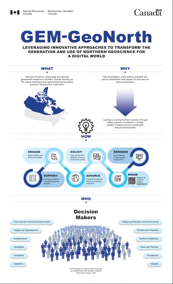
The Government renewed its support once more for the period of 2020–2027. This third iteration of the program, GEM-GeoNorth, continues to evolve to meet new priorities and demands by leveraging innovative approaches to transform the generation and use of Northern geoscience for a digital world. GEM-GeoNorth delivers innovative, cutting-edge and relevant geoscientific research in Northern Canada, focusing on the unique challenges and opportunities facing economic development in the North. Highlights of our current research activities will be available in 2023. The program pillars are as follows:
- Refine geological knowledge regarding untapped resource potential in Canada’s North
- Enhance understanding of rapidly changing landscapes and coasts to support economic development via critical infrastructures
- Develop and provide new public geoscience to inform environmental assessments
- Leverage innovative data-driven predictive methods to forecast cumulative impacts in a changing climate
- Align research priorities and products with the priorities of Northerners and Indigenous Peoples
GEM-GeoNorth objectives
What we aim to do
- Mobilize geoscience networks in the provinces and territories, as well as in academia, to advance regional geo-mapping of the North
- Contribute to climate-resilient Northern infrastructure, environmental stewardship practices and climate change adaptation strategies with new geoscientific research, knowledge and data
- Increase industry investments in exploration and the sustainable development of minerals
- Expand access to geoscientific resources and tools to maximize decision-making by communities and governments
How we aim to do it
- Train more highly qualified personnel, including Northern and Indigenous geoscience professionals and students
- Provide grant funding for Northern educational institutions and organizations to conduct geoscience and develop capacity-building opportunities
- Continue collaborating with territorial and provincial geological surveys and governments as well as Northern associations and organizations
- Strengthen the leadership of Northerners and Indigenous Peoples in aligning research priorities and knowledge products
GEM-GeoNorth infographic (downloadable), 8.5 in. × 14 in. (PDF, 4.19 MB)
GEM-GeoNorth research
In 2020 (Year 1 of the program), GEM-GeoNorth began geoscience research with a call for proposals for foundational science activities.
In the following years, a second and third competitive call for proposals were launched for geoscience research activities in the North. These proposals were not limited to desktop studies and could include fieldwork, pending approval from provinces and territories, and Indigenous governments and organizations.
GEM-GeoNorth is producing and will provide new, public geoscientific data, knowledge and maps for Northern Canada. Our comprehensive and collaborative research can support land-use decisions, exploration for geological and mineral resources, and baseline environmental assessments. Our research can also help unlock new economic development opportunities and technological advancements in the North.
GEM-GeoNorth has an available budget to fund science activities that complement and expand on its existing research pillars. Until 2027, the program is looking to support innovative scientific proposals to help develop long-term Canadian geoscience capacity, infrastructure requirements and land-use decision-making needs in the North.
Click for more information about GEM-GeoNorth scientific research: Selected highlights of science activities — Geoscience research in Canada’s North.
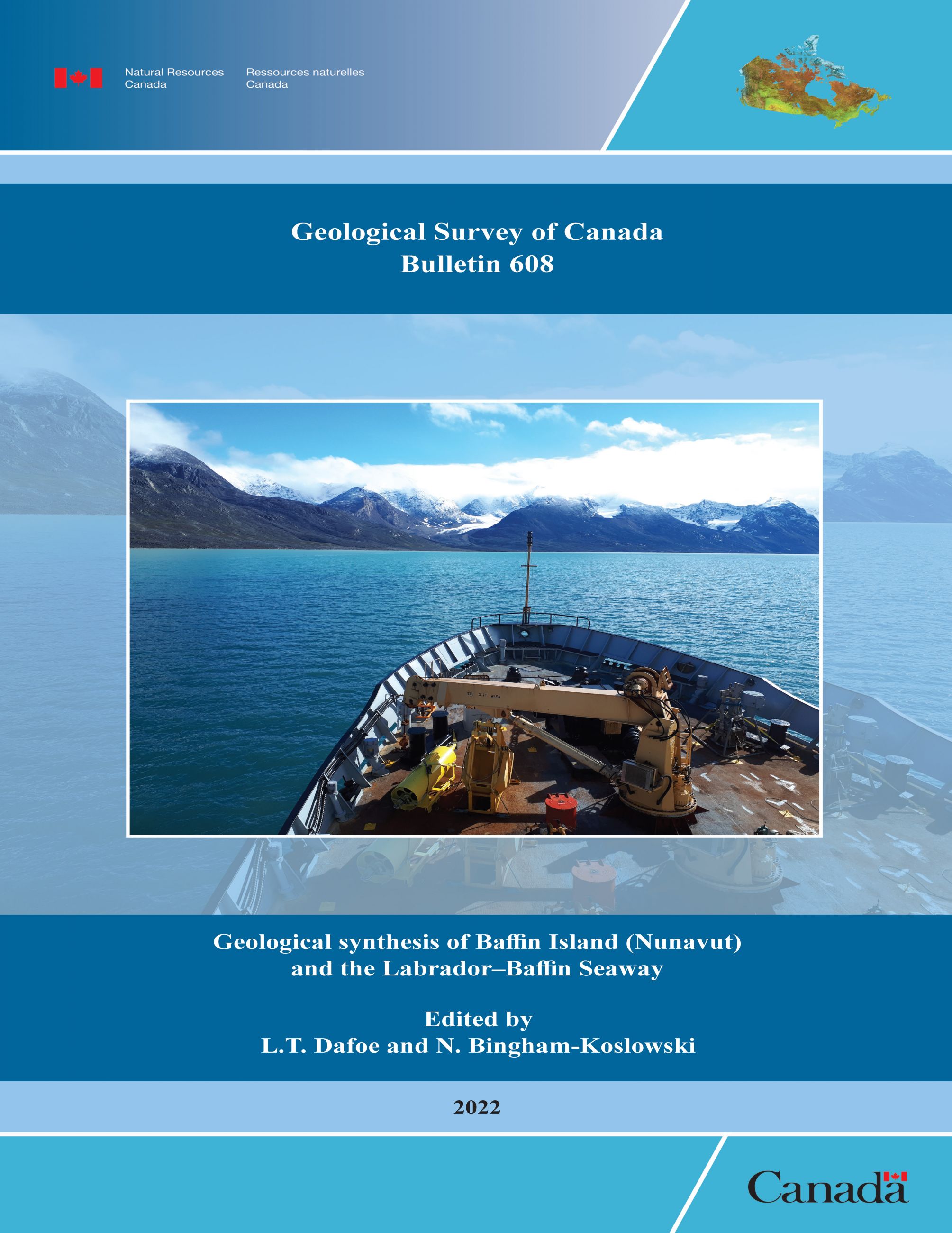
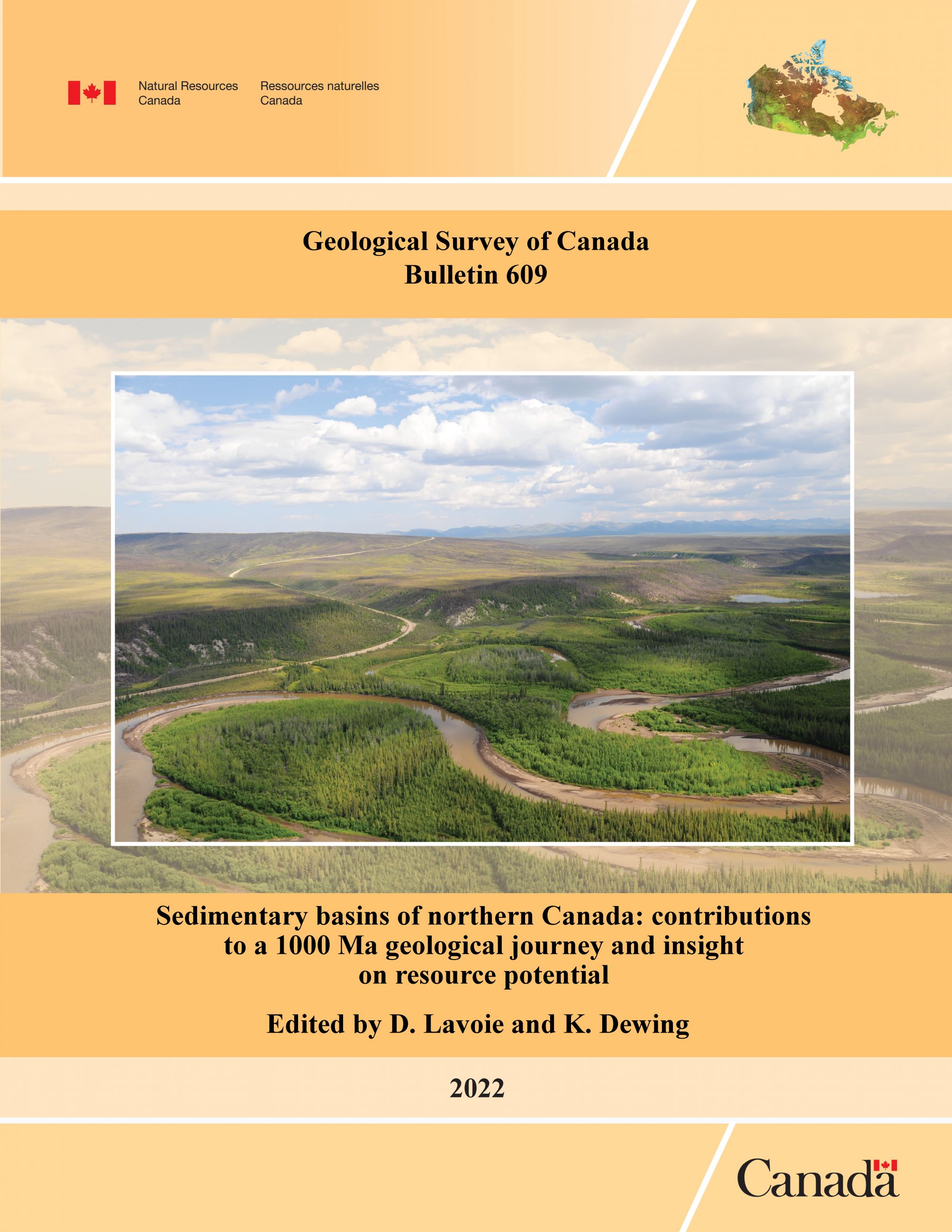
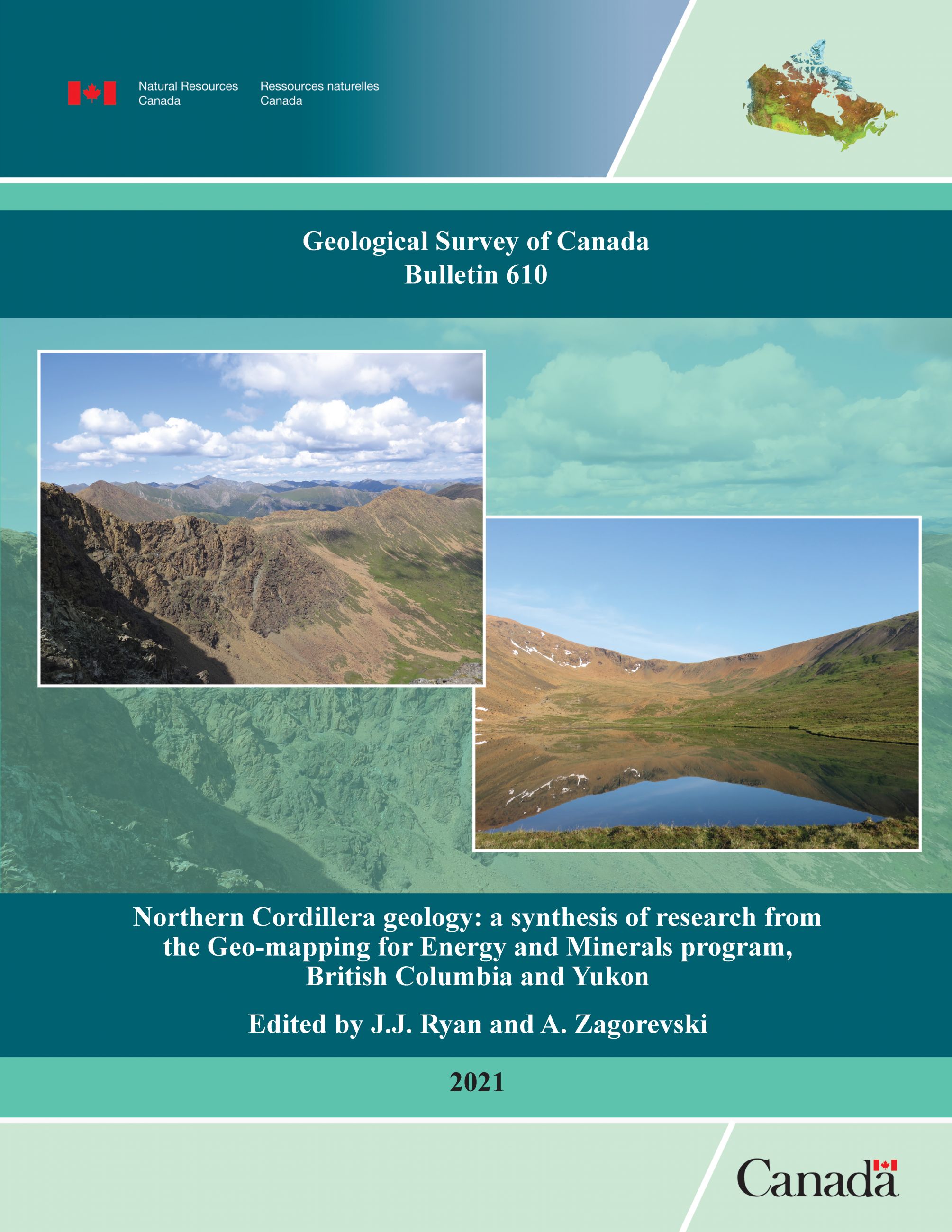
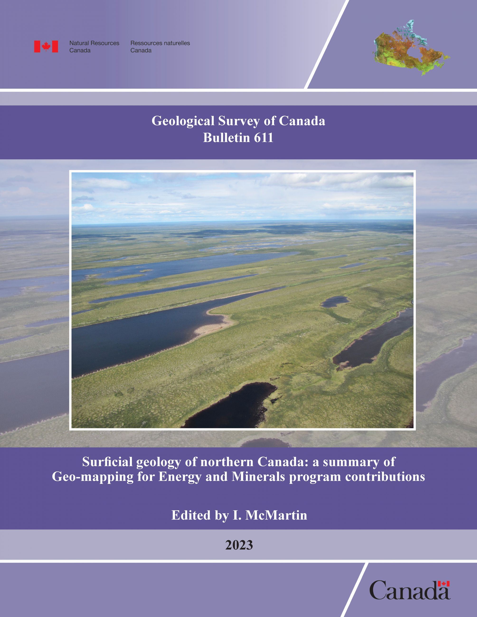
Click on any of the following bulletins to access the most recent GEM research:
Priority alignment as part of GEM-GeoNorth
The program team aims to work closely with provinces and territories, as well as Northern and Indigenous governments and organizations to align program priorities — a first for the Geological Survey of Canada (GSC). The objective throughout this process is to include the perspectives and priorities of interested Indigenous landholders, governments and representative organizations in the planning of research on their territories.
The scope and intensity of the involvement of Indigenous groups in this dialogue about GEM-GeoNorth priorities varies, and each relationship is unique. GEM-GeoNorth commits to:
- meet with all interested Northern representative organizations or governments whose territories fall within our mandate area (in a mutually acceptable format and at a mutually acceptable time)
- map a relationship framework, engagement plan or reporting mechanism with each group
- discuss geoscientific research priorities without any specific outcome or activity in mind to help build a mutual understanding that can guide future research in those territories
- work on our relationships as the program progresses through ongoing discussions about shifting priorities and circumstances
Additionally, GEM-GeoNorth talks with provincial and territorial geological surveys to identify themes and geographic areas of interest for the program. Discussions are based on gaps in public geoscience knowledge and the outcomes of previous studies, which are available in the OSTR, the NRCan repository for many types of geoscientific publications, maps and data.
The Advisory Group of Northerners
Since its founding in 2008, GEM has benefited from the support of the Advisory Group of Northerners (AGN) and will continue to work with the AGN in GEM-GeoNorth. The AGN represents the diversity of the Northern context and includes members from Indigenous socio-economic development organizations, the private sector and territorial governments. It provides key advice on building respectful and sustainable relationships with Indigenous and Northern peoples, communities and organizations. It also helps maximize the uptake of GEM knowledge by Northerners.
Community engagement
Community engagement is a focal point of GEM-GeoNorth. It has evolved, just as our relationships with Indigenous communities have evolved since the program’s founding. Engagement has been guided by communities and has helped to foster meaningful relationships and trust.
Today, the engagement strategy includes full-time engagement officers who are dedicated to long-term relationship building. The project-related process, initiated previously in the GEM Program and expanded upon during this iteration of GEM-GeoNorth, has many advantages:
- Inform communities of proposed fieldwork during the project planning stages, that is before fieldwork can begin
- Hold in-person discussions with interested parties, including landholder associations
- Obtain feedback from community members at community meetings where they share their concerns, which often leads to adjustments of the field proposal
- Promote the availability of local vendors to allow the GEM-GeoNorth team and scientists additional opportunities to contribute to local economies
- Provide preliminary research results, discuss evolving fieldwork plans and explore new opportunities between field seasons, when the engagement team conducts follow-ups with communities
- Share research results with communities to provide an opportunity for community members to ask questions about the studies at the conclusion of the research
- Provide accessible and plain-language geological information to landholders
Grants
GEM-GeoNorth is not currently accepting applications for grant funding. For more information on previous grants, visit the Geoscience, multidisciplinary and Northern academia research grants recipients web page.
