
Content warning: Some historical Atlas of Canada products contain geographic feature names, place names, boundaries and boundary features that reflect the information at the time of publication and do not necessarily reflect the Government of Canada’s position on international issues of recognition, sovereignty or jurisdiction.
On this page
Timeline of publications
Travel through the history and evolution of the Atlas of Canada, from the 1st edition published in 1906 to present day. The past editions are available in multiple formats: complete PDF, digital flipbook or downloads of individual maps.
-
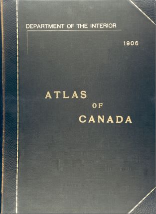
1906
First edition published
In 1906, the Department of the Interior published the first edition of the Atlas of Canada. The first edition was only published in English.
-
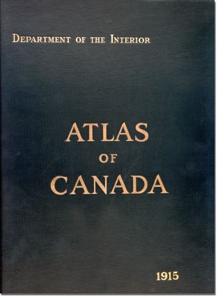
1915
Second edition published
In 1915, the Department of the Interior published the second edition of the Atlas of Canada, like the first edition, it focused on transportation, immigration and the physical environment. The second edition was only published in English.
-
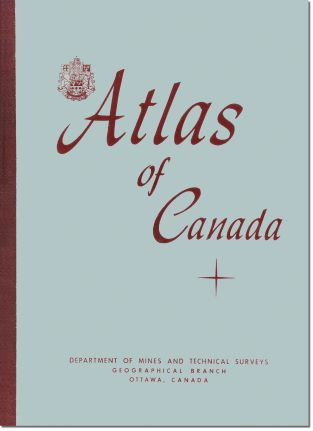
1958
Third edition published
In 1958 the Department of Mines and Technical Surveys published the third edition of the Atlas of Canada. It was the first edition to be published in both English and French.
-
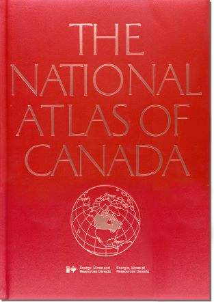
1974
Fourth edition published
In 1974, the Department of Energy, Mines and Resources Canada published the fourth edition, renamed the National Atlas of Canada.
-
1993
Fifth edition published
In 1993, the Department of Energy, Mines and Resources Canada completed the fifth edition of the National Atlas of Canada. The maps were loose sheets and published over 15 years, starting in 1978.
-
1994
Launch of the National Atlas Information Service (NAIS)
Following the fifth edition, the internet became the focus for disseminating new national maps and geographical information to a broader audience. The first version of the National Atlas online was launch in 1994.
-
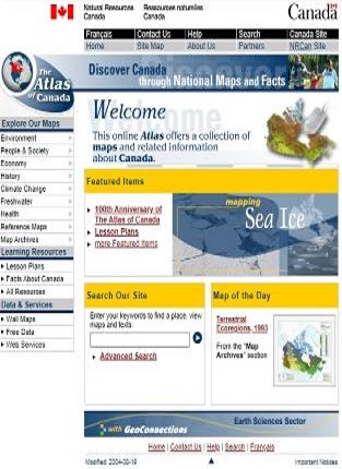
1999
Sixth edition published
The sixth edition, the National Atlas Online, was launched in 1999.
-

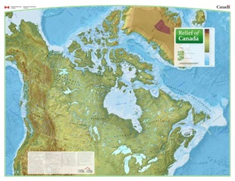
2006
100-year Anniversary
A selection of cartographic products on core geographical themes was released, such as political divisions, relief, road transportation network, and physiographic regions. As part of the anniversary, the Royal Canadian Geographical Society recognized the Atlas with its Gold Medal award.
-
2024
Present day and new updates
The shift to open data, the availability of new map application technologies, and changes to how users interact with data, maps and the web, marked the need for a redesigned Atlas of Canada web presence and new map visualizations.
Other historical maps
Beyond the first to sixth editions of the Atlas of Canada, many maps and other thematic atlases were published over the years.
Discover and download maps from the past collections:
- Hydrological Atlas of Canada (1978)
- International Map of the World (1966 to 1988)
- Glacier Atlas of Canada (1969 to 1972)
- National Parks of Canada (1961 to 2010)
- Poster Maps
- Reference Maps
- Federal Elections (1968 to 2001)
- Historical Reproductions (1639 to 1980)
- Various (1965 to 2017)
All Atlas of Canada maps, Geological Survey of Canada maps and more are available in the Open S&T Repository (OSTR).