
Filter your results
Keywords:Article
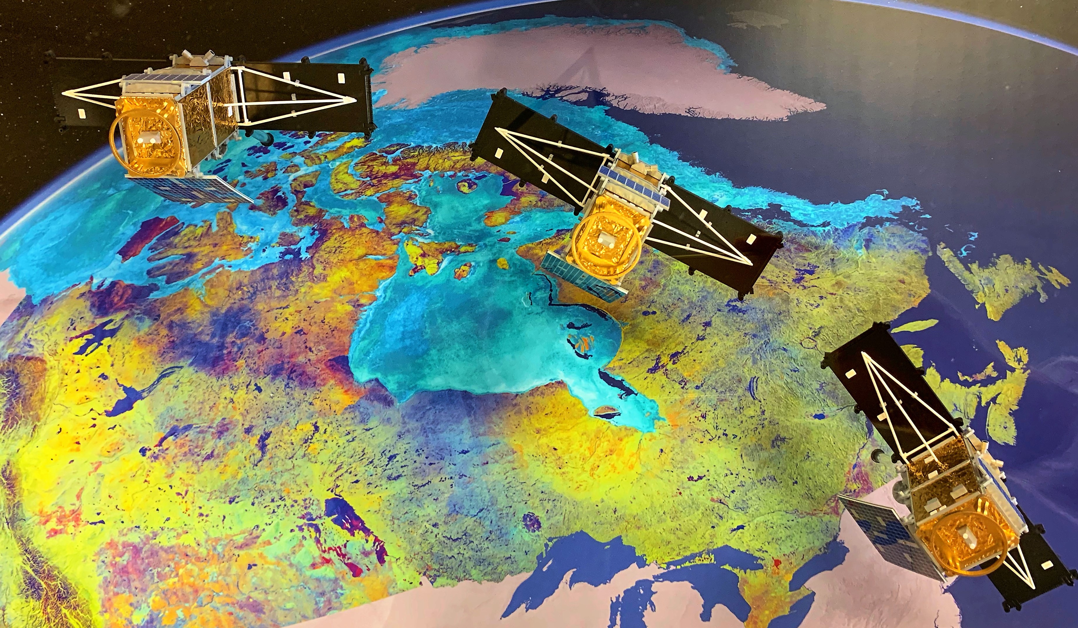
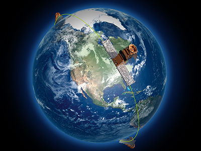
Canada as never seen before: The new RADARSAT Constellation Mission
Deliver an unprecedented view of Canada using the RADARSAT Constellation Mission’s advanced satellite data
Keywords:Article
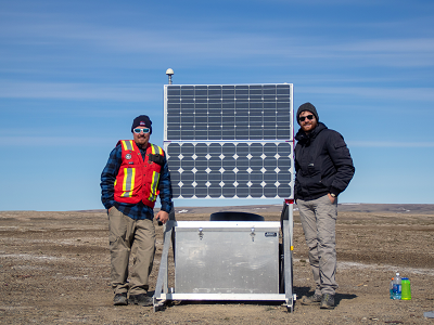
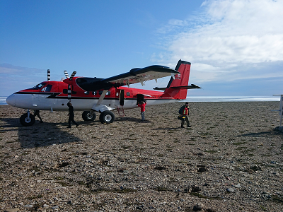
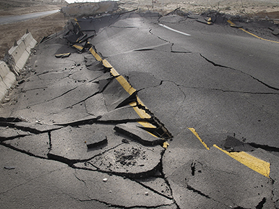
Measuring the shake, rattle and roll in Canada’s Western Arctic
Measure ground shaking across Canada’s western Arctic to improve earthquake monitoring
Keywords:Article
Monitoring seismic activity in Canada’s North
Monitor seismic activity in northern regions to improve earthquake detection and public safety
Keywords:Podcast
Can We Predict Earthquakes? (Ask NRcan)
Examine why earthquakes cannot be predicted and how monitoring helps reduce risk
Keywords:Article
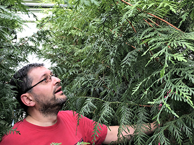
A mystery at the core of Canada’s western redcedar
Investigate the unusual core structure of western redcedar and what it reveals about tree growth and resilience

Keywords:Podcast
Incorporating Artificial Intelligence (Ask NRcan)
Like many organizations, the Government of Canada is exploring ways to incorporate artificial intelligence into our work
Keywords:Podcast
Activating the RADARSAT Constellation Mission (Natural Elements)
Activate the RADARSAT Constellation Mission to improve Earth monitoring and daily information services
Keywords:Article
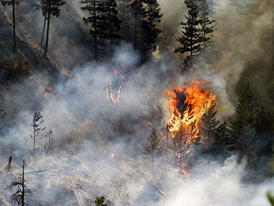
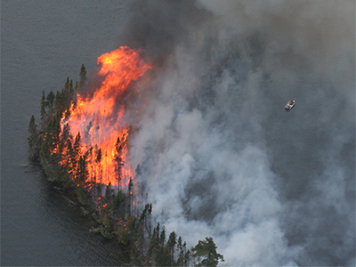
A glimpse into the future of the boreal forest: less frequent but more aggressive fires
Anticipate a future boreal forest shaped by fewer fires that burn more intensely under changing climate conditions
Keywords:Podcast
Researching Forest Fires (Natural Elements)
Study how natural elements influence forest fire behaviour, intensity, and spread
Keywords:Article
Mapping a Flood: every minute counts
Map floods in near real time to support faster response and better decision‑making during emergencies