
Filter your results
Keywords:Article
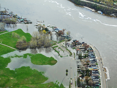
Mapping a Flood: every minute counts
Map floods in near real time to support faster response and better decision‑making during emergencies
Keywords:Podcast
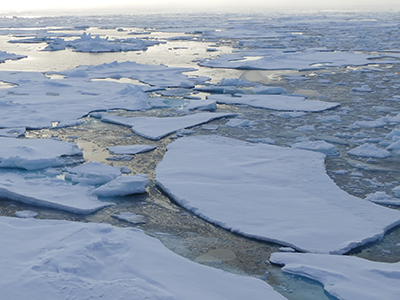
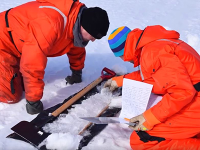
Science at the North Pole
Conduct scientific research at the North Pole to study Arctic conditions and global climate systems
Keywords:Article
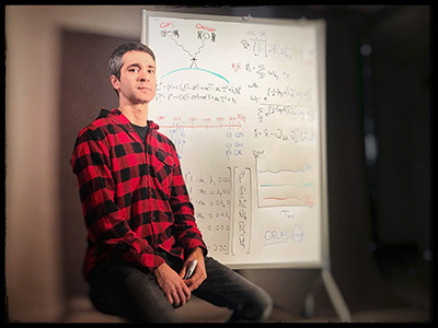
Satellite Navigation: The familiar blue dot could soon mark a better spot
Improve satellite navigation accuracy so the familiar blue dot pinpoints locations more precisely
Keywords:Article
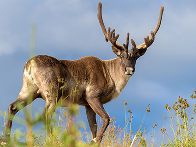
Canada’s caribou at risk: mapping out solutions
Map caribou risk to support habitat protection, recovery planning, and informed land‑use decisions
Keywords:Video
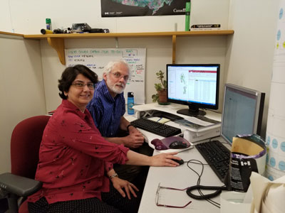
Measuring Lake Ice Thickness From Space (Byte-Sized Science)
Scientists map lake‑ice thickness from space to support ice roads and track climate change - YouTube Video (1:56 minute)
Keywords:Article
Natural Solutions to Climate Change
Use nature‑based solutions to reduce emissions, store carbon, and build resilience to climate change
Keywords:Article
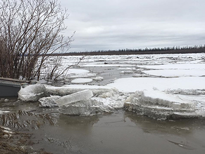
Today’s forecast: scattered ice chunks with an 80% chance of flooding
Use modelling to forecast ice breakup conditions and an 80% risk of flooding
Keywords:Article
Prototype flood map app captures what satellites can’t
Use a prototype flood‑mapping app to capture local flooding details that satellites can miss
Keywords:Article
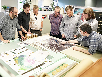
Indigenous students get creative with geospatial data
Show how Indigenous students use geospatial data to solve problems and share community stories