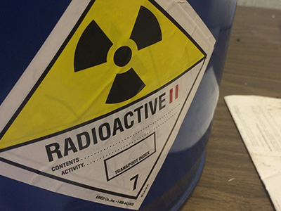
Can drones help detect radioactivity? (Byte-Sized Science) Research scientist Dr. Laurel Sinclair takes a drone for a spin that houses a new detector developed by her team able to point out the location of radioactivity. This detector could potentially be used on unmanned aerial vehicles to assist emergency responders and map radioactivity during an incident. Keywords: Natural hazards Watch now
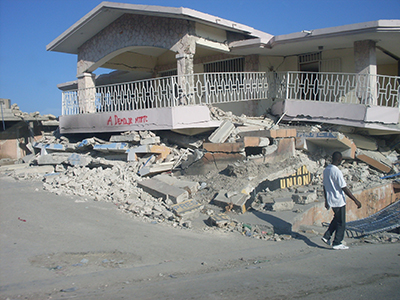
Earthquakes: shaking the foundations of popular misconceptions Media reports of earthquakes often identify their epicentre as a single point on a map. This may be accurate for small earthquakes. But for large ones, the seismic energy is released from a large surface, not a point on a map. Keywords: Geosciences Natural hazards Read more
“Current events” - New sensors protect pipelines, power lines and more When it comes to weather, it’s not just storms that get our attention. The same is true of space weather and the geomagnetic activity produced by the sun. Keywords: Natural hazards Read more
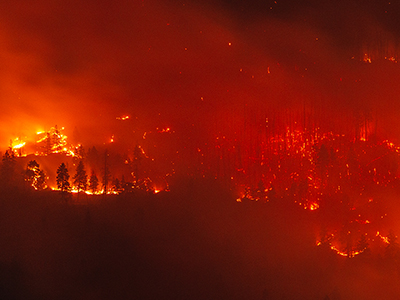
Impact Of Climate Change On Forest Fires (AskNRCan) On this episode of AskNRCan, Scientists Yan Boulanger and Sylvie Gauthier talk about how forest fire behavior and frequency are impacted by a changing climate. Keywords: Natural hazards Read more
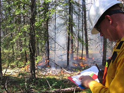
Fire science between the covers With all of the tools, supplies and gear that fire managers need, the last thing you would expect them to take to a wildfire is a book. Keywords: Forestry and insects Natural hazards Read more
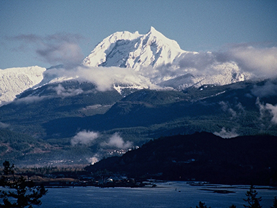
Volcanoes in Canada: Are they ready to rumble? The last time a volcano erupted in Canada was 150 years ago. Keywords: Geosciences Natural hazards Read more
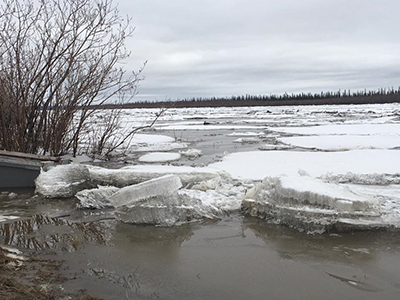
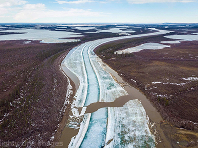
Today’s forecast: scattered ice chunks with an 80% chance of flooding In analyzing the Facebook data collected by the community, Whalen and his colleagues Paul Fraser and Don Forbes are making further discoveries of their own Keywords: Geosciences Maps Natural hazards Read more
Facebook gives scientists a front row seat on northern ice breakup Anyone who’s seen ice break up in the North knows it’s an incredible experience, with large masses and floes of ice along the coast and racing downstream in turbulent rivers. Keywords: Geosciences Natural hazards Read more
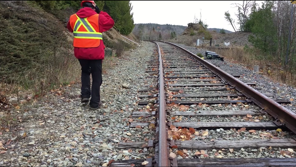
Monitoring Centimetre Movements from Space (Byte-Sized Science) Natural Resources Canada scientists are using satellite information to monitor a potentially dangerous landslide that threatens a railway in the Chaleur Bay region of Gaspésie, Quebec. Keywords: Natural hazards Watch now
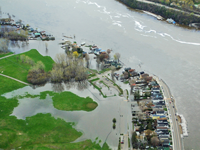
Prototype flood map app captures what satellites can’t A team of scientists at Natural Resources Canada collects data from radar satellite images and produces near-real-time maps for emergency responders during crises such as floods. In order to help validate and update said maps, these scientists developed a new prototype app that could turn smart phone-toting Canadian citizens into supplementary sensors. Keywords: Maps Natural hazards Read more