
March 29th, 2019
What do 360-degree virtual reality, the oil and gas sector and threatened boreal caribou have in common? Plenty, it turns out. And especially in Alberta, where work is underway to restore tens of thousands of kilometres of seismic lines — those narrow clear-cut strips found throughout Canada’s boreal forest that were created to help locate oil and natural gas deposits.
Work is already underway to restore disturbed habitat throughout Canada.
Restoring this landscape is complex, but it can benefit the entire ecosystem and contribute to improving wildlife habitat, including for the boreal caribou, which are listed as a threatened species under the federal Species at Risk Act. Work is already underway. The Government of Canada has a Caribou Recovery Strategy in place with the goal of achieving self-sustaining populations across Canada, and Natural Resources Canada’s Canadian Forest Service (NRCan-CFS) is in a unique position to provide expertise to enhance these recovery efforts, helping our forests to thrive for generations to come.
Larger image
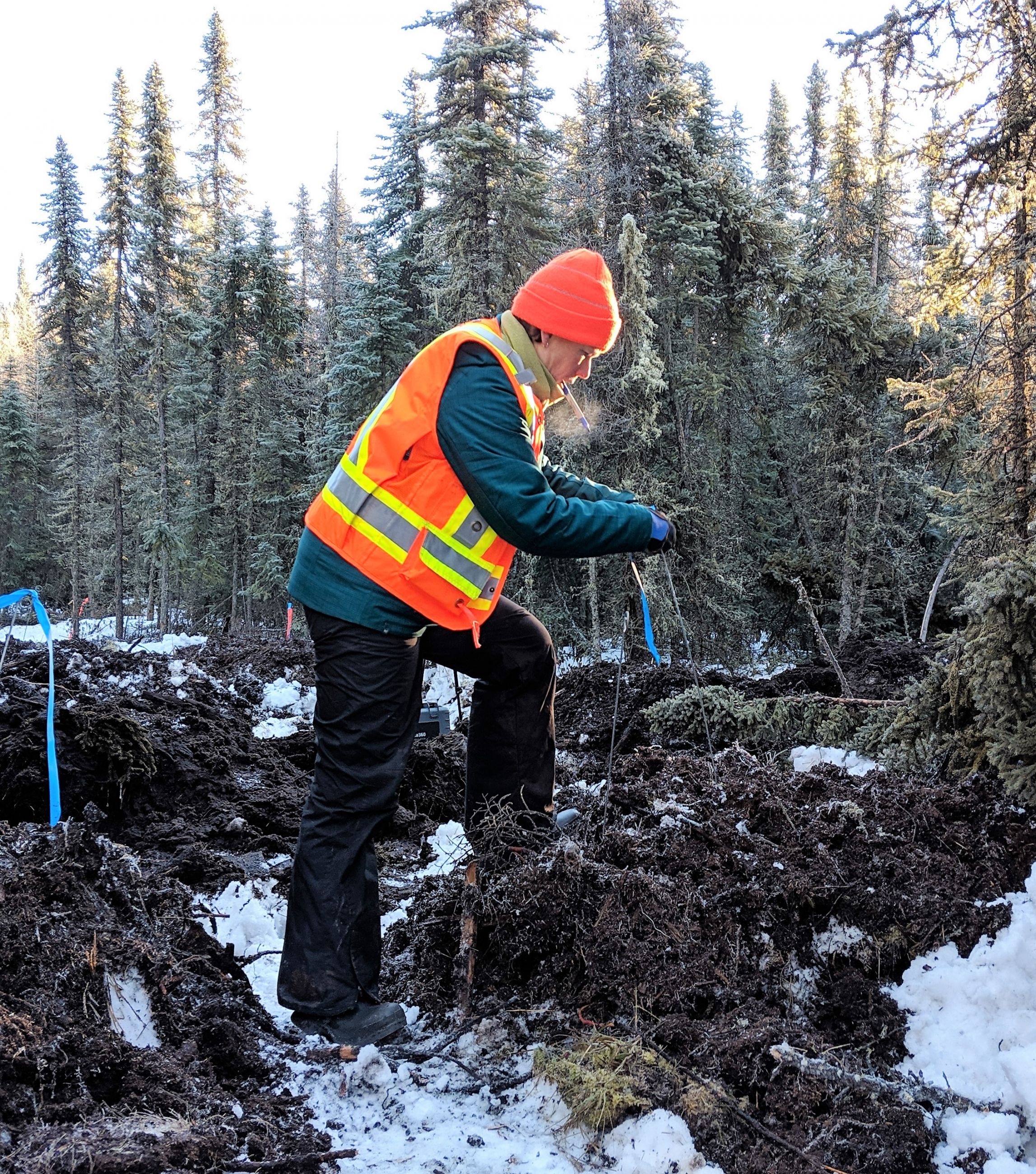
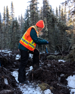
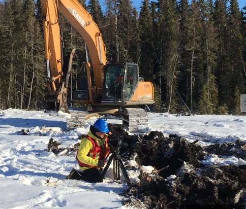
Katalijn MacAfee of CFS’s Cumulative Effects Program prepares a demonstration site in Northern Alberta.
A ready core of expertise
Recognizing the opportunity to access existing knowledge from the forest sector, the oil and gas sector asked to collaborate with CFS. “We’re world leaders when it comes to forestry practices,” says Katalijn MacAfee, of CFS’s Cumulative Effects Program.
“The oil and gas sector was investigating different practices to return forest cover to disturbed sites, and they realized that there was a ready core of expertise within the Canadian Forest Service. So we began to work together.”
Making the Connection
A useful, practical approach is the development of a Silviculture Tool Kit, a bundle of materials that includes videos, fact sheets and guidebooks to support the practice of growing trees and managing their life cycle, from seed to harvest. NRCan collaborated closely with Canada’s Oil Sands Innovation Alliance (COSIA) to develop this tool kit, which is designed to give top-level expertise and instruction to crews working to restore sites that have been disturbed.
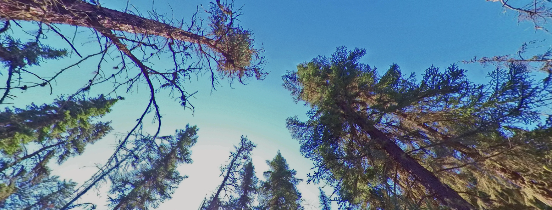
It turns out that modern technology like 360-degree VR is a great tool for sharing information. By providing 360-degree VR images of all stages of the restoration effort, a full picture of restoration methods can be widely shared without the need to visit numerous sites.
Larger image
RECENTLY TREATED SEISMIC LINE. Special treatments are regularly used to create microsites so trees can grow in difficult lowlands. Amphibious excavators are needed to access the sites year-round.
Real-world Applications
Recently, Katalijn travelled to Northern Alberta to set up a demonstration restoration site and produce a “newly treated” 360-degree virtual reality scenario, in partnership with COSIA and Fuse Consulting. This demonstration site will explore the use of variable mound sizes in unfrozen conditions in an effort to speed up restoration in critical caribou habitat. Mounding is when an excavator or other equipment is used to make piles of soil to help create microsites for seedlings. The site will show how well the new recovery techniques are working, and followup 360-degree VR footage will visually document the progress. The team is also taking measurements to ensure the scientific validity of results.
“I’m really impressed with the desire from industry to make things better and their willingness to work closely with, and learn from, people like us who have a strong background in forestry,” adds Katalijn. “This collaboration really has been rewarding and has led to improved outcomes.”
Larger image
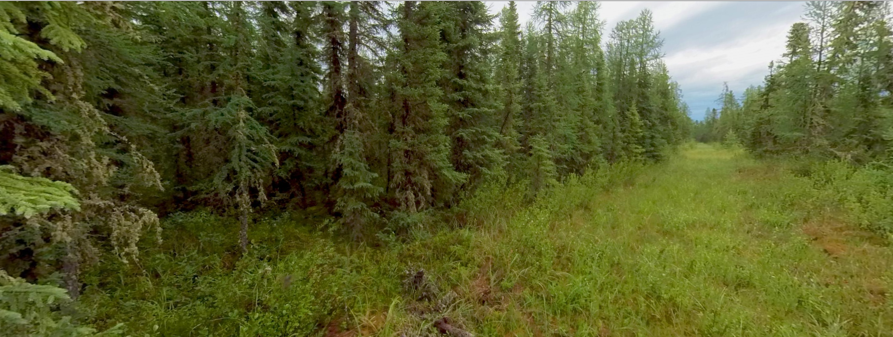
LOWLAND SEISMIC LINE SIX YEARS AFTER TREATMENT. This line was planted six years ago, and the trees have grown successfully on the mounds created for them.
There are literally thousands of kilometres of seismic lines crisscrossing Alberta and other parts of Canada. Studies indicate significant and persistent environmental changes along these paths.
Larger image
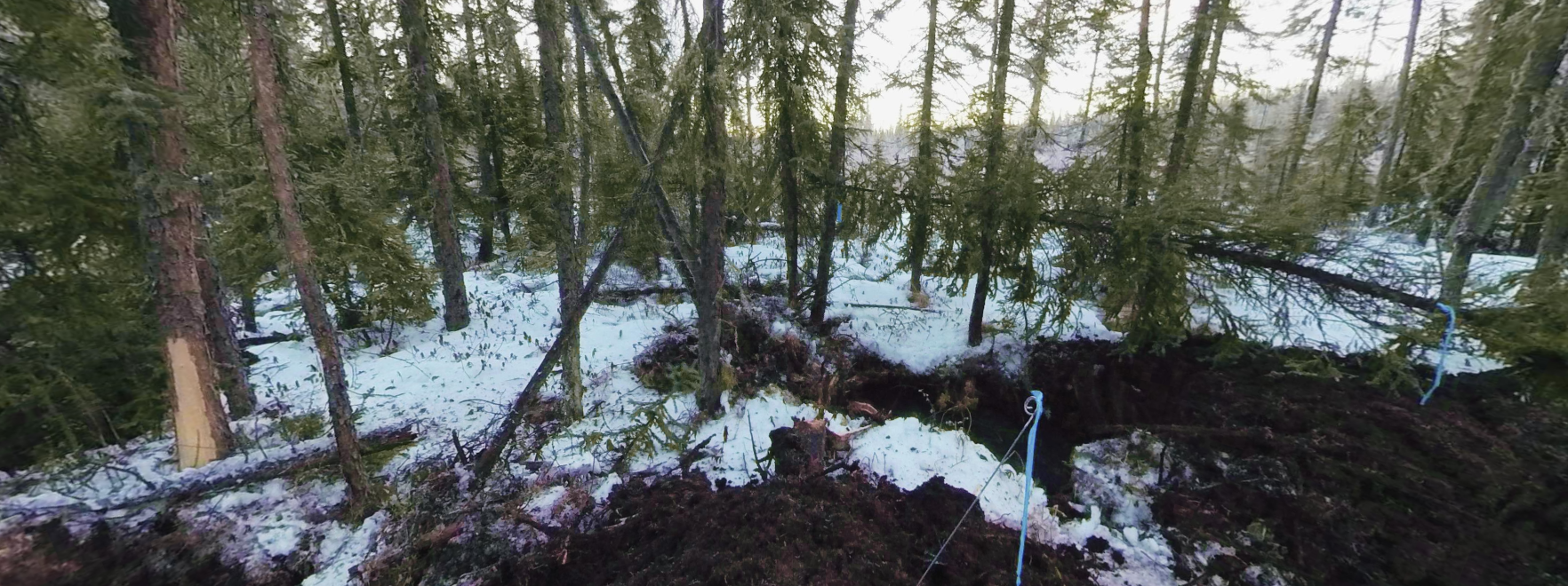
Preparing the demonstration site for restoration.
“These are tricky places that are often highly compacted, have poor microbial communities and are often overrun with competing vegetation, like weeds,” says Katalijn. All of this leads to changes in soil, plants, trees and wildlife, and can make returning these lines to forest cover extremely difficult. Here’s one vivid example: research shows wolves can travel two times faster on a seismic line than in the adjacent forest. In other words, these linear features create a highway for predators in search of prey, which is a real concern for boreal caribou.
For these and other reasons, NRCan and sector partners recognize the urgent need to identify ways to work toward restoration and return to forest cover.
While the focus now is on disturbed sites in the oil sands region of Alberta, much of the Silviculture Tool Kit information can be applied to other disturbed areas in the boreal forest, including mineral mining sites and forest roads.
In the future, thousands of kilometres of seismic lines could be treated thanks to the NRCan team and partners who are working together to restore one of Canada’s most valuable and renewable resource — our forests.