
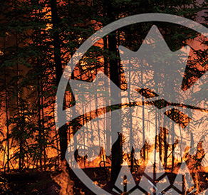
National wildland fire monitoring and reporting systems and services provide information, and an understanding of how wildland fires ignite, spread and may behave. They also improve predictive capabilities as factors change over time. Outputs feed other national systems and/or data products.
These scientific models can identify where the potential for wildland fire is the greatest and are crucial for protecting people, property and resources.
Canadian Forest Fire Danger Rating System (CFFDRS)
The principal source of fire intelligence for wildland fire management agencies.
Canadian Wildland Fire Information System (CWFIS)
Daily, national-level wildland fire maps and reports, plus a wide range of data products and services.
CWFIS interactive map
Current wildland fire locations and conditions.
Fire Monitoring, Accounting and Reporting System (FireMARS)
Monitoring greenhouse gas and carbon emissions from wildland fires.
National Wildland Fire Situation Report
Summary of current and forecasted wildland fire conditions across Canada.
CWFIS Datamart
Data products and services for current and historical wildland fire locations, burned area and fire conditions.
Open Science and Technology Repository
Access science, research and technical publications by the Canadian Forest Service.
National Forestry Database
Canada's collection of forestry statistics.
WildFireSat: A Canadian operational mission
This mission will provide timely and essential data to track wildland fire activity and support management efforts.
Fire Monitoring, Mapping and Modelling System (FireM3)
Using low-resolution satellite imagery to locate actively burning wildland fires.
Wildland fire research
Wildland fire management directly benefits from understanding the causes, dynamics and effects of fire on the landscape.
Features
WildFireSat e-bulletin
Information on the progress of Canada’s WildFireSat mission.
WildFireSat publications
Our collection of publications about how WildFireSat contributes to wildland fire management.