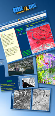
This Image interpretation quiz is for students of remote sensing who would like to explore a variety of interpretation techniques and concepts.
Topics include:
- Feature recognition;
- Band combination colour assignments;
- Image enhancements;
- One and two dimensional histograms; and
- Airphoto / satellite image comparison
Table of Contents
- Band colour assignment – Landsat TM - Answer
- Feature recognition – Landsat TM - Answer
- Feature recognition SEASAT SAR - Answer
- Feature recognition SEASAT SAR - Answer
- Feature recognition RADARSAT SAR - Answer
- Find the bridge - Landsat TM - Answer
- Matching band combinations – Landsat TM - Answer
- Matching satellite images to air photos - Answer
- Recognizing city features - Landsat TM - Answer
- Matching histograms to single band images - Answer
- Image enhancements - Landsat TM - Answer
- Spectral signatures - Landsat-TM - Answer
Permission for Use
This educational material within these tutorials is provided as is and may be copied in any form and used for non-commercial purposes provided that the content of the original material is not altered and it is clearly indicated that the Canada Centre for Remote Sensing, Natural Resources Canada is the originator of this material.