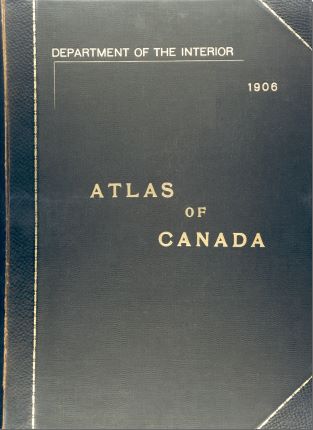
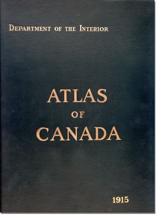
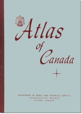
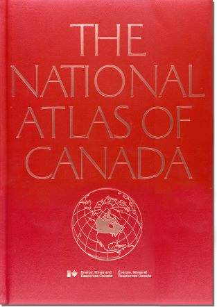
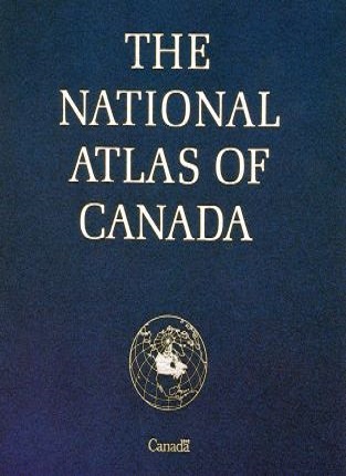
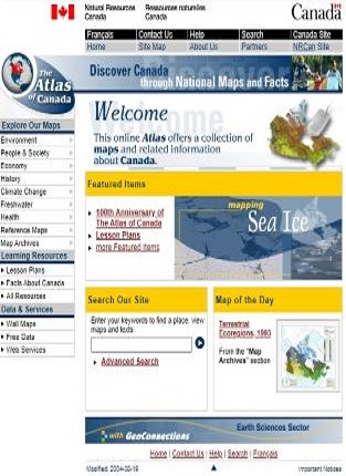
Discover all maps in past editions of the Atlas of Canada, from the 1st edition published in 1906 to the first online version which launched in 1999. The past editions are available in multiple formats: complete PDF, digital flipbook or downloads of individual maps.
Past editions
Historical maps
Beyond the first to sixth editions of the Atlas of Canada, many maps and other thematic atlases were published over the years.
Discover and download maps from the past collections:
- Hydrological Atlas of Canada (1978)
- International Map of the World (1966 to 1988)
- Glacier Atlas of Canada (1969 to 1972)
- National Parks of Canada (1961 to 2010)
- Poster Maps
- Reference Maps
- Federal Elections (1968 to 2001)
- Historical Reproductions (1639 to 1980)
- Various (1965 to 2017)
All Atlas of Canada maps, Geological Survey of Canada maps and more are available in the Open S&T Repository (OSTR).
