
Land Cover and Vegetation
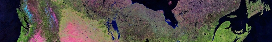
The ability to efficiently and effectively characterize Canada’s vast land mass using remote sensing is fundamental to understanding our natural resources and underpins the strategies for land management aimed at achieving environmental, social and economic sustainability.
Satellite-based land cover classifications assign areas exhibiting different surface cover or type to well-characterized classes (e.g water, bare rock, forest, agriculture, urban) . The more classes, the more detailed the land cover becomes, differentiating one type or forest or scrub land or wetland from multiple others. Land cover can be produced at a various spatial and temporal scales, ranging from infrequent to annual, and from local to expansive.
The Canada Centre for Mapping and Earth Observation (CCMEO) has produced a number of satellite-based national scale and northern land cover products at varying resolution. In partnership with the U.S. and Mexico, CCRS also works within the North American Land Change Monitoring System (NALCMS) to create continental land use change products.
Mapping vegetation and understanding its transformation and health is central to ecosystem studies. CCMEO has used historical satellite datasets to monitor changes in vegetation in Canada’s northern parks (i.e. PARKSPACE) and within studies examining the cumulative effects of environmental change on key indicators, like caribou populations.
For more information on some of the land cover and vegetation products developed at CCMEO, see below links:
Page details
- Date modified: