
Which is which?
Instructions:
On the next pages you will find twelve satellite image segments. Can you find which image contains the feature(s) described below? Enter the correct image number in the box beside each "Feature description". Be careful! Some images are used more than once!Feature description
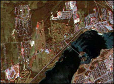
a) Two race tracks, a smaller one inside a larger one. Some roads and two golf courses are also visible in the image.
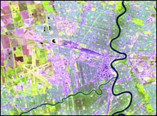
b) An airport at the edge of a city. You can also see a smaller river joining a larger river in the image.
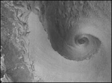
c) The effect of a cyclone on the surface of ocean waters.
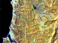
d) A smooth coastline showing a coastal town and its breakwater which creates a safe harbour for boats.
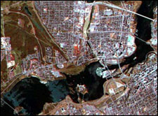
e) 5 bridges across a river. Three of the bridges also pass over islands in the river.
f) There are many clouds (and their shadows) over land and water in this image.
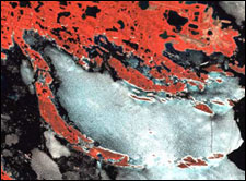
g) A coastal area showing ice flows in the largest of the inlets. The land area is studded with lakes and there are many islands offshore.
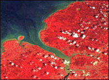
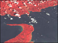
h) A hook-shaped peninsula ending in a point.
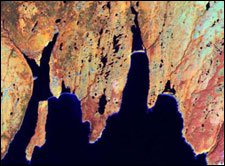
i) A rugged coastline showing many sharp coves and inlets.
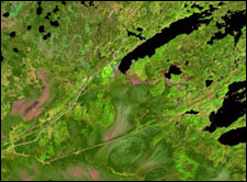
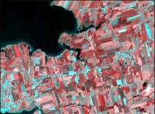
j) This scene shows farmland near the mouths of 2 rivers. You can also see several roads meeting at a village.
k) In this view you see many lakes in a rugged and rocky forest area. A large swampy section shows no lakes at all.
l) A forested region showing clear-cut areas as well as the logging roads that were built to access this site.
m) A mouth of a river showing the sediment that is carried by the river into the sea.

Page details
- Date modified: