
Question 2
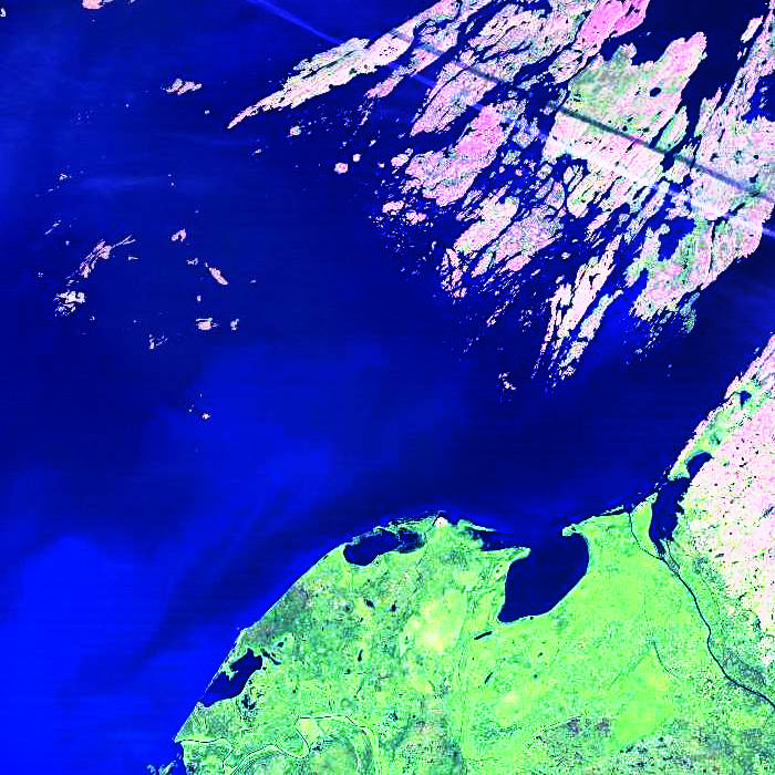
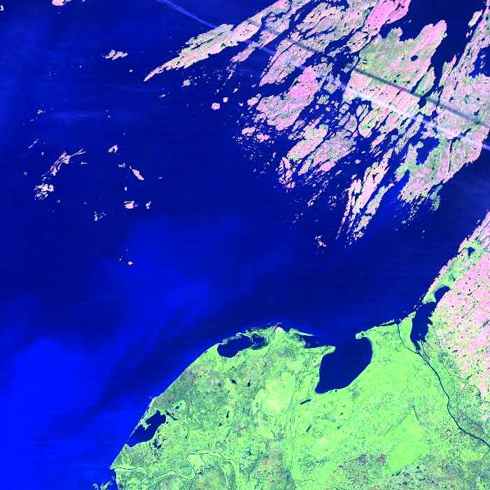
Landsat 5 TM image of the eastern end of Great Slave Lake
Question
The diagonal white line at the top right of the image is:
- paved road
- contrail
- hydro line
- gravel road
It takes careful observation and logical reasoning to figure this one out.
Image Information
eastern end of Great Slave Lake, Landsat 5 TM
Page details
- Date modified: